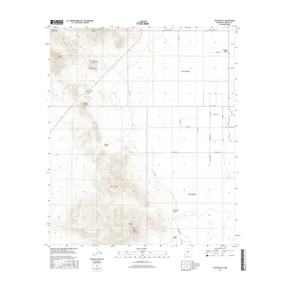
2017 Map of Cotton City
USGS Topo · Published 2017About this map
Cotton City anchors the eastern flatlands of this Hidalgo County landscape, where the agricultural valley meets the dramatic uplift of the Peloncillo Mountains. The terrain is defined by sharp elevation changes, moving from the low-lying Martin Draw and Weatherby Canyon up to prominent landmarks like Eagle Nest Peak and 1117 Mtn. This area has long served as a critical passage through the high desert, evidenced by Granite Gap and Cowboy Pass, which provide natural breaks in the mountain chain. The map shows a network of rural routes such as Goat Camp Rd and Washburn Rd that connect isolated ranching or homestead sites. From the heights of Granite Peak and Preacher Mtn, the landscape transitions into the wide Animas Valley, illustrating the classic Basin and Range geography of the New Mexico bootheel region.
Find a feature on this map
41 named features on this map. Tap any name to fly to it.
Don’t see what you’re looking for? This feature index may not catch every label — zoom into the map to look around manually.
Map Details
Editions of this 2017 Cotton City Map
This is the sole edition of this map. No revisions or reprints were ever made.
Other maps of this area

1917 · San Simon
USGS Topo · 1:125,000

1917 · Chiricahua
USGS Topo · 1:125,000

1918 · Pratt
USGS Topo · 1:62,500

1919 · Pratt
USGS Topo · 1:62,500

1919 · Chiricahua
USGS Topo · 1:125,000

1926 · Rodeo
USGS Topo · 1:62,500

1928 · Chenoweth
USGS Topo · 1:62,500

1950 · Vanar
USGS Topo · 1:62,500

1951 · Vanar
USGS Topo · 1:62,500

1954 · Silver City
USGS Topo · 1:250,000