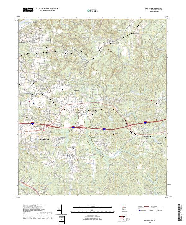
2024 Map of Cottondale
USGS Topo · Published 2024About this map
Hurricane Creek carves a winding path through the heart of this East Tuscaloosa landscape, anchoring a region defined by established communities and scattered burial grounds. The settlement of Cottondale serves as a central hub, surrounded by smaller locales like Peterson, Fleetwood, and Coaling. For family historians, the sheet is exceptionally detailed with cemeteries such as Ruhama Cem, Old Salem Cem, and the Cottondale Nature Garden Cem. The topography transitions from the industrial character near Holt and South Holt in the northwest to the more residential and wooded areas of Sherwood Forest and the creek-fed valleys of Opossum Hollow. Water features are prominent throughout, including Prudes Mill Pond, Echo Lake, and the expansive William Bacon Oliver Lake along the Black Warrior River corridor, reflecting the area's complex drainage and recreational history.
Find a feature on this map
241 named features on this map. Tap any name to fly to it.
Don’t see what you’re looking for? This feature index may not catch every label — zoom into the map to look around manually.
Map Details
Editions of this 2024 Cottondale Map
This is the sole edition of this map. No revisions or reprints were ever made.
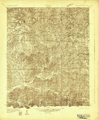
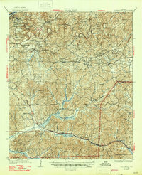
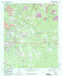
Historical Maps of Altamont Through Time
4 maps found