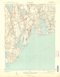
1941 Map of Cotuit
USGS Topo · Published 1941About this map
Mashpee and the surrounding coastal reaches of Barnstable County are defined here by a complex geography of freshwater ponds and saltwater bays. Inland, the landscape is punctuated by Mashpee Pond and Santuit Pond, while the shoreline is deeply indented by Poponesset Bay and Cotuit Bay. The survey documents the area's spiritual and community centers, including the Old Indian Ch near Pine Tree Corner and St Marys Ch in Barnstable.
Find a feature on this map
90 named features on this map. Tap any name to fly to it.
Don’t see what you’re looking for? This feature index may not catch every label — zoom into the map to look around manually.
Map Details
Editions of this 1941 Cotuit Map
2 editions found
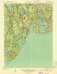
Other maps of this area

1886 · Falmouth
USGS Topo · 1:62,500

1888 · Barnstable
USGS Topo · 1:62,500

1888 · Falmouth
USGS Topo · 1:62,500

1893 · Barnstable
USGS Topo · 1:62,500

1893 · Falmouth
USGS Topo · 1:62,500

1915 · Falmouth
USGS Topo · 1:62,500

1920 · Falmouth
USGS Topo · 1:62,500
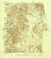
1935 · Pocasset
USGS Topo · 1:20,000
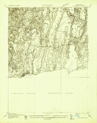
1936 · Falmouth
USGS Topo · 1:25,000

1938 · Sandwich
USGS Topo · 1:31,680