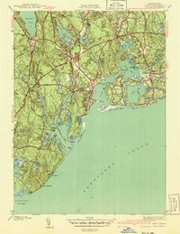
1941 Map of Cotuit
USGS Topo · Published 1941About this map
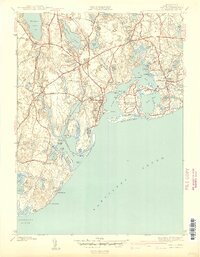
Mashpee and the surrounding villages of Barnstable reveal a coastline shaped by kettle ponds and intricate saltwater inlets just before the mid-century. The landscape is defined by the transition from the freshwater depths of Mashpee Pond and Santuit Pond to the tidal reaches of Cotuit Bay and Popponesset Bay. Inland, the map documents a community deeply rooted in its heritage, centered on the Old Indian School and settlements like Marstons Mills. Cultural and recreational development is visible in the emergence of the Cotuit Golf Course and the prestigious Grand Island Oyster Harbors. Road networks such as Quinaquisset Road and Falmouth Road connect these coastal hamlets, while numerous cemeteries like Moss Wood Cem offer significant data points for genealogical research in this historic corner of Cape Cod.
Find a feature on this map
84 named features on this map. Tap any name to fly to it.
Don’t see what you’re looking for? This feature index may not catch every label — zoom into the map to look around manually.
Map Details
Editions of this 1941 Cotuit Map
2 editions found
Other maps of this area

1886 · Falmouth
USGS Topo · 1:62,500

1888 · Barnstable
USGS Topo · 1:62,500

1888 · Falmouth
USGS Topo · 1:62,500

1893 · Barnstable
USGS Topo · 1:62,500

1893 · Falmouth
USGS Topo · 1:62,500

1915 · Falmouth
USGS Topo · 1:62,500

1920 · Falmouth
USGS Topo · 1:62,500
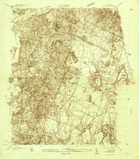
1935 · Pocasset
USGS Topo · 1:20,000
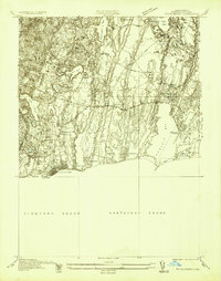
1936 · Falmouth
USGS Topo · 1:25,000

1938 · Sandwich
USGS Topo · 1:31,680