2022 Map of Covington
USGS Topo · Published 2022About this map
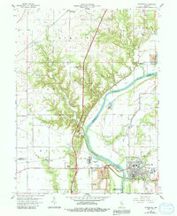
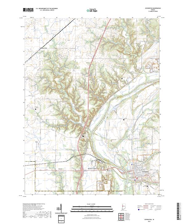
Covington serves as the focal point of this region, situated on the banks of the Wabash River where the Fountain County Courthouse stands at the center of the local street grid. The landscape reveals a complex history of transportation and settlement, notably marked by the remnants of the Wabash and Erie Canal, which runs parallel to the river. Further inland, small settlements like Foster, Olin, and Romine Corner are connected by a web of county roads, while Johnsonville sits to the northwest. The terrain is deeply etched by watercourses such as Redwood Creek, Mud Run, and Coal Hollow, creating a varied topography. Genealogists will find a high density of burial sites including Upper Mound Cem, Baltimore Cem, and Sand Hill Cem, which are scattered throughout the rural landscape, often near historic crossroads or elevated overlooks.
Find a feature on this map
72 named features on this map. Tap any name to fly to it.
Don’t see what you’re looking for? This feature index may not catch every label — zoom into the map to look around manually.
Map Details
Editions of this 2022 Covington Map
This is the sole edition of this map. No revisions or reprints were ever made.