Old Maps of Covington, Indiana
Explore 18 old maps of Covington, spanning from 1953 to today. These high-resolution historic maps reveal how streets, neighborhoods, landmarks, and natural features evolved over time — perfect for genealogy, metal detecting, research, and local history exploration.
What you can do with these maps:
- See how Covington changed over time: Compare historical maps to modern-day views to trace roads, homesites, rail lines & more.
- View detailed metadata: Each map includes creators, publishers, year, scale, and archive source.
- Overlay maps with satellite & LiDAR: Visualize the past alongside modern tools to explore terrain & human change.
- Trusted historical sources: Maps sourced from the USGS, Library of Congress, and other archives.
- Access maps your way: View online, download high-res files, or order prints for personal or research use.
Start exploring old maps of Covington to uncover forgotten places, hidden landmarks, and the deep history beneath your feet.
Covington, IN maps
(18)- 1953 Map of Danville, 1965 Print
 1953 Danville1965 Print · USGSIndiana and Illinois crossroads come to life in this mid-century survey as the interstate era begins to reshape the river-and-rail landscape. Genealogists and collectors can trace the historic paths of the Nickel Plate railroad or locate smaller communities like Veedersburg, Goodland, and Bismarck.3 unique versions available
 - 1955 Map of Danville
 1955 Danville1955 Print · USGSThe Indiana-Illinois borderlands during the mid-fifties reveal a landscape of thriving rail hubs and university towns. Researchers can trace the legacy of Purdue University, the Tippecanoe Battlefield, and the path of the Pennsylvania RR.
 - 1956 Map of Danville
 1956 Danville1956 Print · USGSMid-century Indiana and Illinois are captured here as the river-and-rail economy evolved into the modern highway era. Researchers can trace ancestral roots and old transport lines through Logansport, Battle Ground, and the dams at Lake Shafer.
 - 1958 Map of Stonebluff, 1959 Print
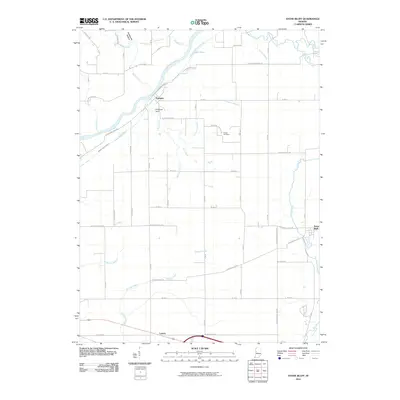
 1958 Stonebluff1959 Print · USGSFountain County in the late fifties was a landscape of winding creek ravines and quiet rail junctions. Genealogists and local historians can locate early landmarks like Osborn Prairie Ch, the Township Sch, and the unique geological formation at Portland Arch.
 - 1958 Map of Covington, 1960 Print
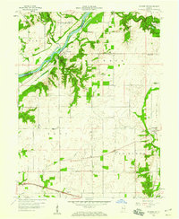
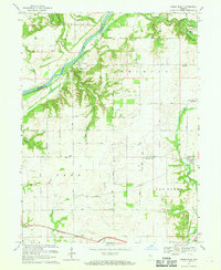
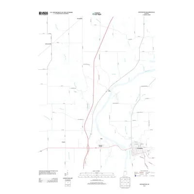
 1958 Covington1960 Print · USGSCovington and the Wabash River valley appear here in the late fifties, showcasing a landscape defined by its river-and-rail industry. Researchers can trace the New York Central lines or locate legacy sites like Baltimore Cem, Foster, and Galloway Chapel.4 unique versions available
 - 1967 Map of Stone Bluff, 1969 Print
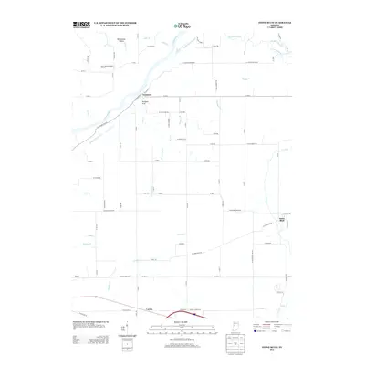
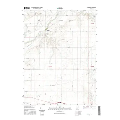
 1967 Stone Bluff1969 Print · USGSFountain County in the late sixties reveals a landscape of river-bend settlements and fertile prairie farms defined by the Wabash River. Genealogists and researchers can locate family landmarks like Rob Roy Cem, Brown Cem, and the historic Portland Arch.
 - 1984 Map of Danville, 1985 Print
 1984 Danville1985 Print · USGSEastern Illinois and western Indiana meet here in the mid-1980s, centered on the river forks and rail lines surrounding the industrial hub of Danville. Researchers can trace old transport routes and rural landmarks like Rossville Junction, Hope Ch, and the Univ of Ill Radio Telescope.
 - 1987 Map of Danville, 1994 Print
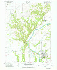
 1987 Danville1994 Print · USGSThe Illinois-Indiana borderlands thrived in the 1980s as a crossroads of rail commerce and river-fed agriculture. Genealogists and historians can trace the foundations of Danville and Covington while locating landmarks like Spring Hill Cemetery or the Vermilion County Courthouse.
 - 2010 Map of Covington, 2010 Print
 2010 Covington2010 Print · USGSCovers Covington, including Olin, Johnsonville, and other nearby areas
 - 2010 Map of Stone Bluff, 2010 Print
 2010 Stone Bluff2010 Print · USGSCovers Covington, including Stone Bluff, Fountain, and other nearby areas
 - 2013 Map of Covington, 2013 Print
 2013 Covington2013 Print · USGSCovers Covington, including Olin, Johnsonville, and other nearby areas
 - 2013 Map of Stone Bluff, 2013 Print
 2013 Stone Bluff2013 Print · USGSCovers Covington, including Stone Bluff, Fountain, and other nearby areas
 - 2016 Map of Covington, 2016 Print
 2016 Covington2016 Print · USGSCovers Covington, including Olin, Johnsonville, and other nearby areas
 - 2016 Map of Stone Bluff, 2016 Print
 2016 Stone Bluff2016 Print · USGSCovers Covington, including Stone Bluff, Fountain, and other nearby areas
 - 2019 Map of Stone Bluff, 2019 Print
 2019 Stone Bluff2019 Print · USGSCovers Covington, including Stone Bluff, Fountain, and other nearby areas
 - 2019 Map of Covington, 2019 Print
 2019 Covington2019 Print · USGSCovers Covington, including Olin, Johnsonville, and other nearby areas
 - 2022 Map of Stone Bluff, 2022 Print
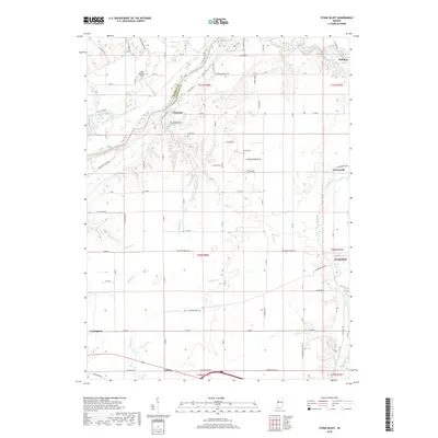
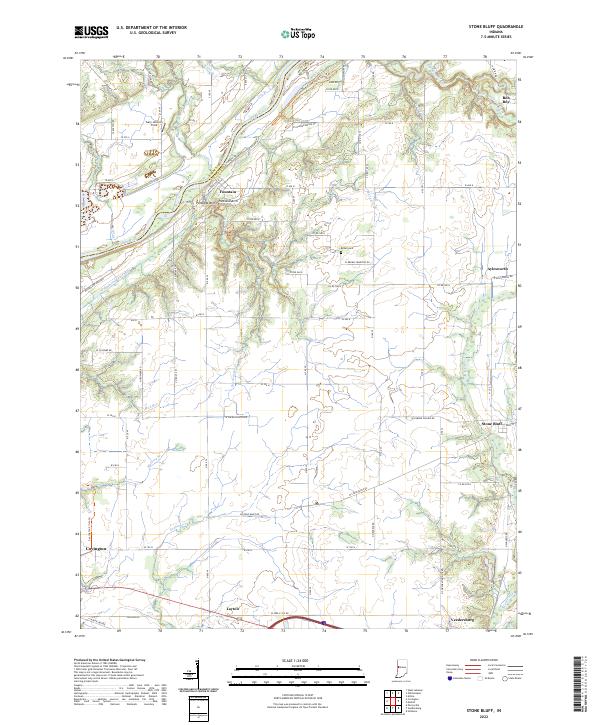 2022 Stone Bluff2022 Print · USGSFountain County rural life is mapped here in the early 2020s, showing the enduring agricultural grid punctuated by the ancient path of the Wabash River. Genealogists and local historians can trace legacy sites like the Brown Cem and the route of the historic Wabash and Erie Canal.
 - 2022 Map of Covington, 2022 Print
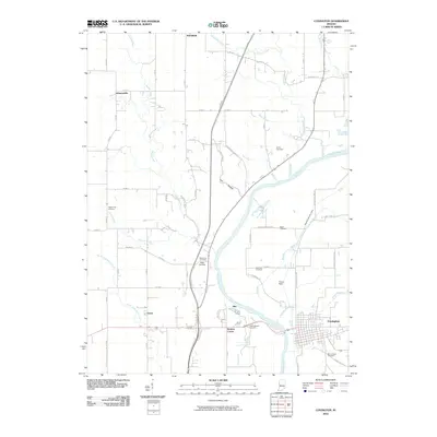
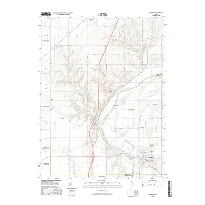
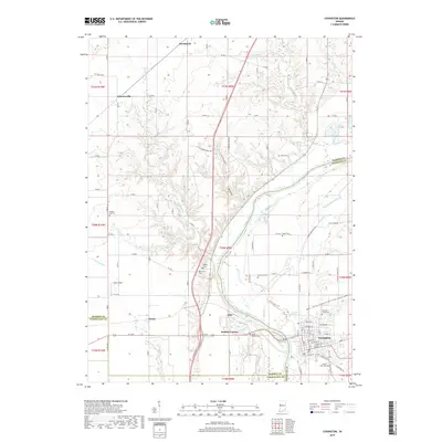
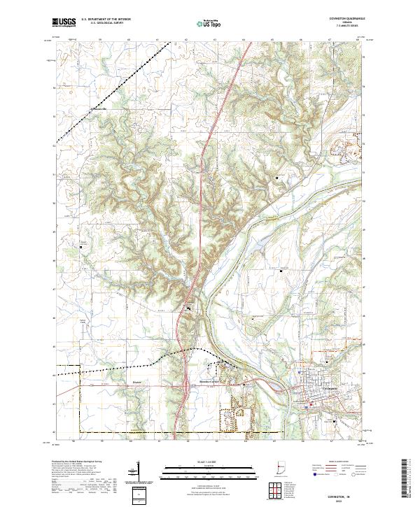 2022 Covington2022 Print · USGSIndiana’s western border country comes into view in this detailed survey, centered on the riverfront town of Covington. Trace the legacy of the Wabash and Erie Canal and locate family history at Upper Mound Cem or the courthouse square.
End of results
Showing maps 1-18 of 18
Top cities near Covington
- Danville historical maps
- Attica historical maps
- Veedersburg historical maps
- Eugene historical maps
- Williamsport historical maps
- Cayuga historical maps
See more
Frequently asked questions
- What are the different types of historical maps available for Covington?
- What is the oldest map of Covington?
- Where can I purchase historical maps of Covington for my home or office?
- Where can I download high-res historical maps of Covington?
- Are there historical topographic maps available for Covington?
- Is there historical aerial imagery available for Covington?
- Where are historical maps of Covington sourced from?