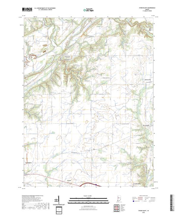
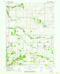
2022 Map of Stone Bluff
USGS Topo · Published 2022About this map
The Wabash River carves a winding path through this portion of Fountain and Warren counties, creating a landscape defined by dramatic drainage and historical transport. A visible stretch of the historic Wabash and Erie Canal follows the river's western bank, serving as a reminder of the region's 19th-century commercial ambitions. Near the settlement of Fountain, the distinctive Portland Arch terrain and the deep cut of Rattlesnake Hollow mark a significant geological shift from the surrounding agricultural plains. The map details the rural character of the area, punctuated by small clusters like Stone Bluff and Aylesworth, along with the Brown Cem and numerous named watercourses such as Coal Creek and Little Shawnee Creek. The road network, including W Salem Church Rd and W Osborn Prairie Rd, reflects the established section-line grid of Indiana's farming heartland.
Find a feature on this map
66 named features on this map. Tap any name to fly to it.
Don’t see what you’re looking for? This feature index may not catch every label — zoom into the map to look around manually.
Map Details
Editions of this 2022 Stone Bluff Map
This is the sole edition of this map. No revisions or reprints were ever made.
Other maps of this area

1953 · Danville
USGS Topo · 1:250,000

1955 · Danville
USGS Topo · 1:250,000

1956 · Danville
USGS Topo · 1:250,000

1958 · Stonebluff
USGS Topo · 1:24,000
1958 · Veedersburg
USGS Topo · 1:24,000
1958 · Perrysville
USGS Topo · 1:24,000
1958 · Covington
USGS Topo · 1:24,000

1961 · West Lebanon
USGS Topo · 1:24,000

1962 · Williamsport
USGS Topo · 1:24,000
1962 · Mellott
USGS Topo · 1:24,000