
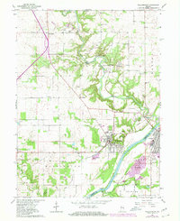
1962 Map of Williamsport
USGS Topo · Published 1964About this map
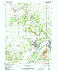
Williamsport and Attica face one another across the Wabash River in this early 1960s survey of the border between Warren and Fountain Counties. The landscape is defined by the deep carving of Big Pine Creek, where dramatic local landmarks like Lovers Leap and Hog Back Hill overlook the winding water. This area was once famed for its mineral waters, evidenced by the settlement at Mudlavia Springs and the nearby village of Kramer.
Find a feature on this map
46 named features on this map. Tap any name to fly to it.
Don’t see what you’re looking for? This feature index may not catch every label — zoom into the map to look around manually.
Map Details
Editions of this 1962 Williamsport Map
3 editions found
Other maps of this area

1953 · Danville
USGS Topo · 1:250,000

1955 · Danville
USGS Topo · 1:250,000

1956 · Danville
USGS Topo · 1:250,000

1958 · Stonebluff
USGS Topo · 1:24,000
1958 · Covington
USGS Topo · 1:24,000

1961 · Chatterton
USGS Topo · 1:24,000

1961 · Tab
USGS Topo · 1:24,000

1961 · Pine Village
USGS Topo · 1:24,000

1961 · West Lebanon
USGS Topo · 1:24,000
1962 · Mellott
USGS Topo · 1:24,000