
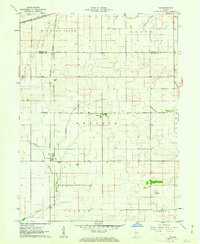
1961 Map of Tab
USGS Topo · Published 1962About this map
The settlement of Tab serves as a focal point in this 1961 survey, situated at the intersection of agricultural transport and mid-century rail lines. The landscape is defined by the New York Central and New York Chicago and St Louis railroads, which facilitated the movement of goods from local elevators and storage bins. This area in Prairie and Jordan townships showcases a highly organized drainage system, with Leak Ditch, Farrell Ditch, and Goose Creek carving through the terrain to support intensive farming. For those researching local genealogy, the map identifies the Locust Grove Ch, the adjacent Locust Grove Cem, and the Township School, providing clear spatial context for these community centers in the early 1960s. The northern border follows the Benton Co Warren Co County Line Road, marking the transition between Hickory Grove and Grant townships.
Find a feature on this map
22 named features on this map. Tap any name to fly to it.
Don’t see what you’re looking for? This feature index may not catch every label — zoom into the map to look around manually.
Map Details
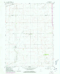
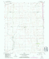
Editions of this 1961 Tab Map
4 editions found
Other maps of this area

1933 · Hoopeston
USGS Topo · 1:48,000

1938 · Milford
USGS Topo · 1:48,000

1938 · Hoopeston
USGS Topo · 1:62,500

1944 · Milford
USGS Topo · 1:62,500

1953 · Danville
USGS Topo · 1:250,000

1955 · Danville
USGS Topo · 1:250,000

1956 · Danville
USGS Topo · 1:250,000

1961 · Pine Village
USGS Topo · 1:24,000

1961 · West Lebanon
USGS Topo · 1:24,000

1962 · Boswell
USGS Topo · 1:24,000