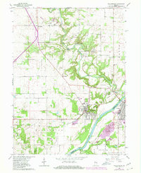
1962 Map of Williamsport
USGS Topo · Published 1980About this map
Williamsport and Attica face each other across the Wabash River, joined by the Paul Dresser Bridge during an era of significant infrastructure and agricultural development. The landscape is defined by the winding course of Big Pine Creek, which carves through the terrain near the Hog Back Hill and Lovers Leap. This survey reveals the importance of the local extractive industry, with numerous Sand and Gravel Pits and a Quarry situated near the riverbanks, supporting the region's growth.
Find a feature on this map
50 named features on this map. Tap any name to fly to it.
Don’t see what you’re looking for? This feature index may not catch every label — zoom into the map to look around manually.
Map Details
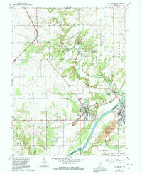
Editions of this 1962 Williamsport Map
3 editions found
Other maps of this area

1953 · Danville
USGS Topo · 1:250,000

1955 · Danville
USGS Topo · 1:250,000

1956 · Danville
USGS Topo · 1:250,000

1958 · Stonebluff
USGS Topo · 1:24,000
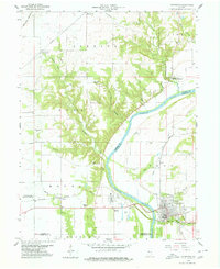
1958 · Covington
USGS Topo · 1:24,000

1961 · Chatterton
USGS Topo · 1:24,000

1961 · Tab
USGS Topo · 1:24,000

1961 · Pine Village
USGS Topo · 1:24,000

1961 · West Lebanon
USGS Topo · 1:24,000

1962 · Williamsport
USGS Topo · 1:24,000