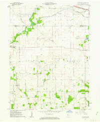
1961 Map of Chatterton
USGS Topo · Published 1962About this map
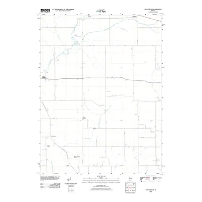
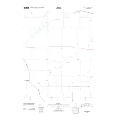
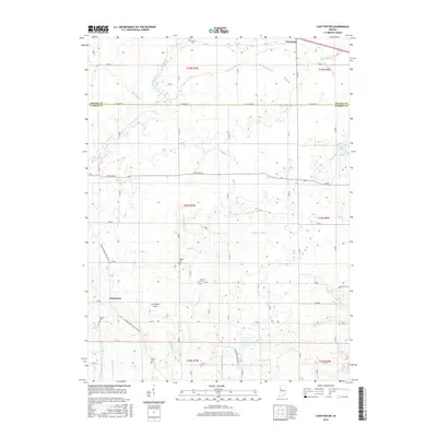
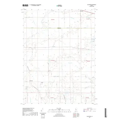
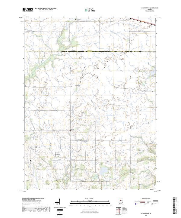
Big Pine Creek and its winding tributaries dominate this 1961 landscape in Warren and Benton Counties, where agricultural drainage is meticulously detailed via a network of named ditches. The settlement of Chatterton serves as a local anchor in the south, while the northern edge is defined by the New York Central & St Louis RR passing through Foresman. For genealogists, the map is particularly useful, noting several family and community burial sites including Quaker Cem, Mound Cem, and Griffin Cem. The transition from the more wooded banks of Kickapoo Creek to the open prairie and the distinct Cranberry Marsh reveals the varied topography of Western Indiana at this time. Educational and local infrastructure is captured through features like the Pine Village Sch and numerous storage bins that indicate the region's strong grain-based economy.
Find a feature on this map
36 named features on this map. Tap any name to fly to it.
Don’t see what you’re looking for? This feature index may not catch every label — zoom into the map to look around manually.
Map Details
Editions of this 1961 Chatterton Map
This is the sole edition of this map. No revisions or reprints were ever made.
Historical Maps of Foresman Through Time
6 maps found