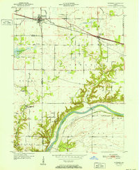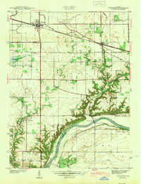
1942 Map of Otterbein
USGS Topo · Published 1942About this map
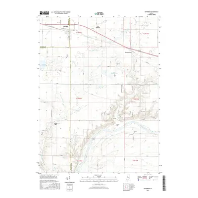
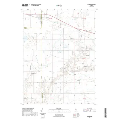
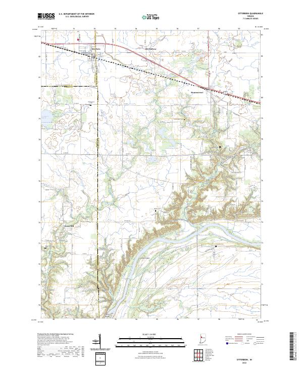
Otterbein sits at the intersection of Benton, Warren, and Tippecanoe Counties, serving as a vital rail hub where the New York Chicago and St Louis railroad cuts across the agricultural landscape. The transition from the flat northern prairies to the deep ravines of the Wabash River valley defines the local geography. Evidence of earlier transportation systems remains visible along the river, specifically the Erie Canal (Abandoned), which mirrors the river's path south of the Granville Bridge.
Find a feature on this map
42 named features on this map. Tap any name to fly to it.
Don’t see what you’re looking for? This feature index may not catch every label — zoom into the map to look around manually.
Map Details
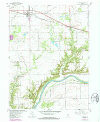
Editions of this 1942 Otterbein Map
This is the sole edition of this map. No revisions or reprints were ever made.
Historical Maps of Otterbein Through Time
8 maps found