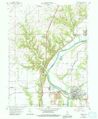
1958 Map of Covington
USGS Topo · Published 1991About this map
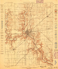
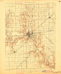
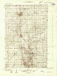
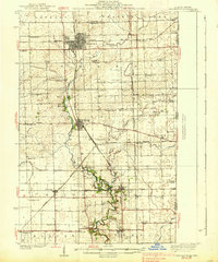
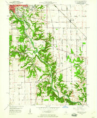
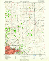
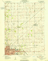
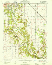
Covington serves as the focal point of this survey, situated on the eastern banks of the Wabash River where the landscape transitions from the river valley to the upland plains of Pike and S T E U B E N townships. The map documents a mid-century industrial and rural landscape, featuring early industrial markers like the Industrial Waste Ponds and a Reclaimed Strip Mine near Romine Corner. Small rural settlements such as Marshfield, Foster, and Johnsonville are connected by a network of roads and remnant transit corridors, including an Old Grade and a Railroad Grade that hint at former transportation routes. For genealogists, the map is a significant record of local burial sites and landmarks, preserving the locations of the Gopher Hill Cem, Baltimore Cem, and Rogers Cem, alongside community hubs like Galloway Chapel and Benson Chapel.
Find a feature on this map
42 named features on this map. Tap any name to fly to it.
Don’t see what you’re looking for? This feature index may not catch every label — zoom into the map to look around manually.
Map Details
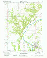
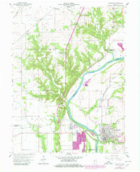
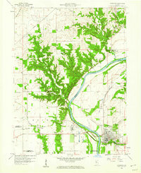
Editions of this 1958 Covington Map
4 editions found
Other maps of this area
1899 · Danville
USGS Topo · 1:62,500
1900 · Danville
USGS Topo · 1:62,500
1933 · Hoopeston
USGS Topo · 1:48,000
1938 · Hoopeston
USGS Topo · 1:62,500
1950 · Danville SE
USGS Topo · 1:24,000
1950 · Danville NE
USGS Topo · 1:24,000
1951 · Danville NE
USGS Topo · 1:24,000
1951 · Danville SE
USGS Topo · 1:24,000

1953 · Danville
USGS Topo · 1:250,000

1955 · Danville
USGS Topo · 1:250,000