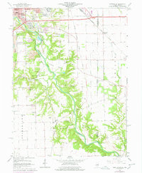
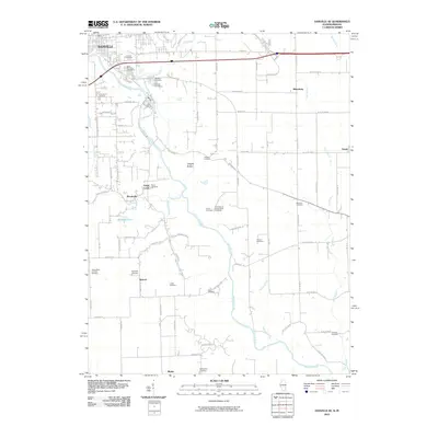
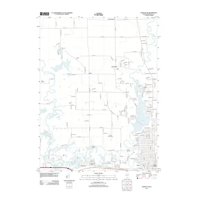
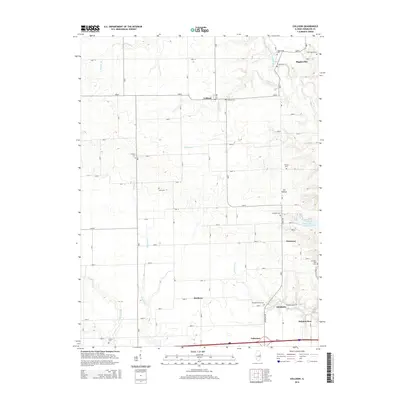
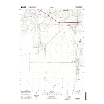
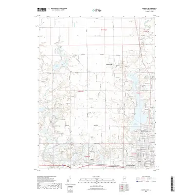
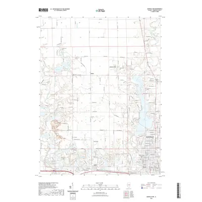
1950 Map of Danville NE
USGS Topo · Published 1962About this map
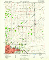
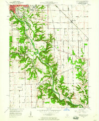
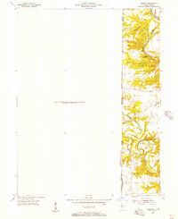
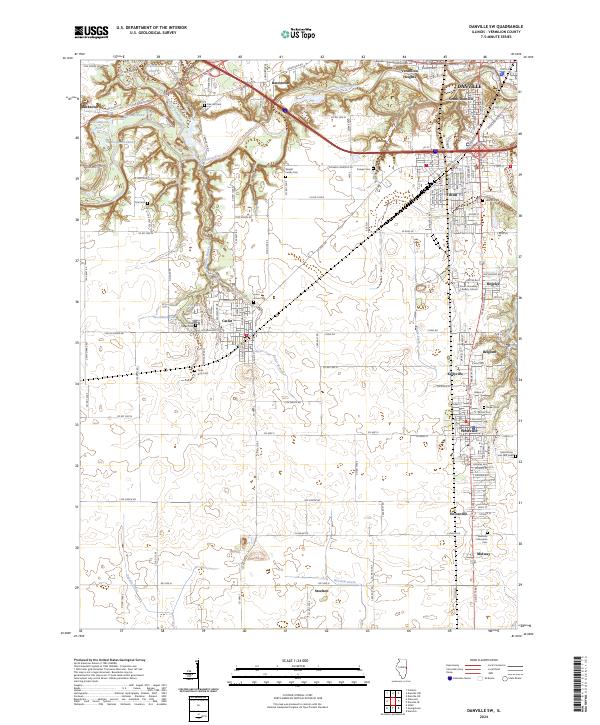
The industrial and transportation hub of Danville anchors the southern edge of this mid-century survey, showing the city's complex rail network including the Wabash and New York Central lines. The landscape transitions from the urban density of neighborhoods served by Collett Sch and Fairchild Sch into the rural townships of Newell and Steuben. Along the eastern margin, the Illinois Indiana border cuts through the settlement of State Line, while the Vermilion County Airport and the sprawling Veterans Hospital grounds illustrate the area's mid-century institutional expansion.
Find a feature on this map
53 named features on this map. Tap any name to fly to it.
Don’t see what you’re looking for? This feature index may not catch every label — zoom into the map to look around manually.
Map Details
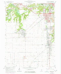
Editions of this 1950 Danville NE Map
This is the sole edition of this map. No revisions or reprints were ever made.
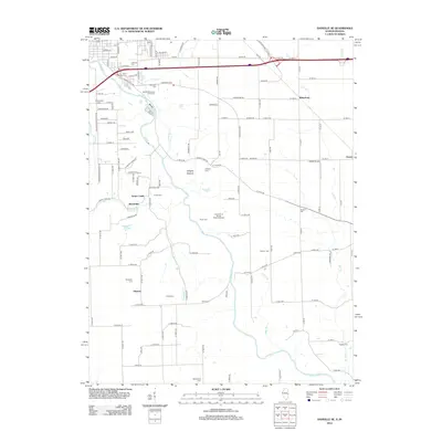
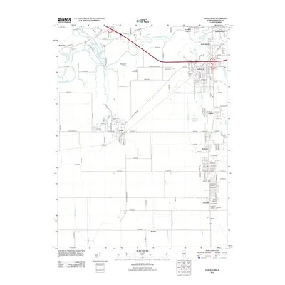
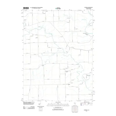
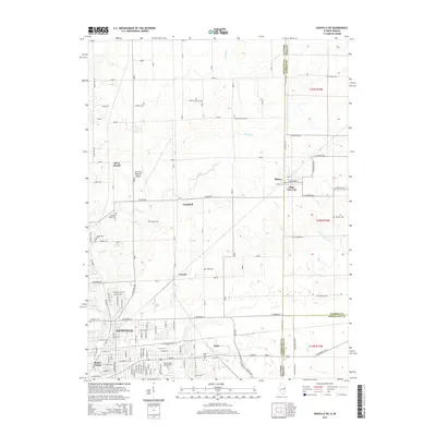
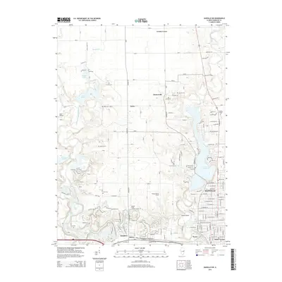
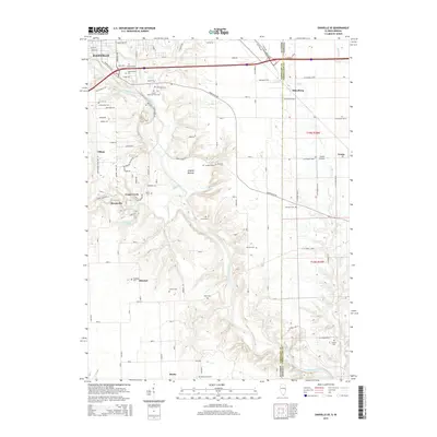
Historical Maps of Danville Through Time
48 maps found
1948 Danville NW
Vermilion County, IL
1949 Danville SW
Vermilion County, IL
1950 Danville NE
Vermilion County, IL
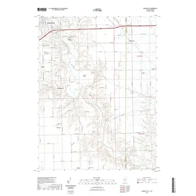
1950 Danville NW
Vermilion County, IL
1950 Danville SE
Vermilion County, IL
1950 Danville SW
Vermilion County, IL
1951 Danville NE
Vermilion County, IL
1951 Danville SE
Vermilion County, IL
1955 Humrick
Vermilion County, IL
1965 Humrick
Vermilion County, IL
1966 Danville NE
Vermilion County, IL
1966 Danville NW
Vermilion County, IL
1966 Danville SE
Vermilion County, IL
1966 Danville SW
Vermilion County, IL
1968 Collison
Vermilion County, IL
2010 Danville NE
Vermilion County, IL
2010 Danville SE
Vermilion County, IL
2010 Humrick
Vermilion County, IL
2012 Collison
Vermilion County, IL
2012 Danville NE
Vermilion County, IL
2012 Danville NW
Vermilion County, IL
2012 Danville SE
Vermilion County, IL
2012 Danville SW
Vermilion County, IL
2012 Humrick
Vermilion County, IL
2015 Collison
Vermilion County, IL
2015 Danville NE
Vermilion County, IL
2015 Danville NW
Vermilion County, IL
2015 Danville SE
Vermilion County, IL
2015 Danville SW
Vermilion County, IL
2015 Humrick
Vermilion County, IL
2018 Collison
Vermilion County, IL
2018 Danville NE
Vermilion County, IL
2018 Danville NW
Vermilion County, IL
2018 Danville SE
Vermilion County, IL

2018 Danville SW
Vermilion County, IL

2018 Humrick
Vermilion County, IL
2021 Collison
Vermilion County, IL
2021 Danville NE
Vermilion County, IL
2021 Danville NW
Vermilion County, IL
2021 Danville SE
Vermilion County, IL
2021 Danville SW
Vermilion County, IL
2021 Humrick
Vermilion County, IL
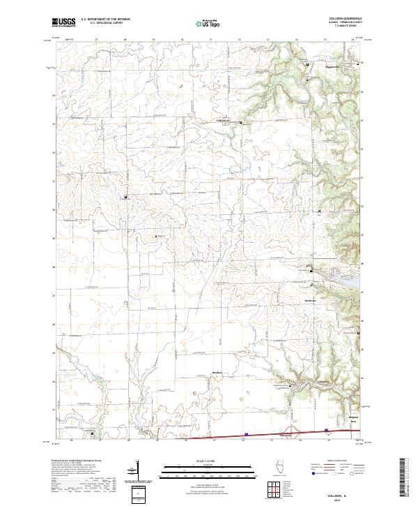
2024 Collison
Vermilion County, IL
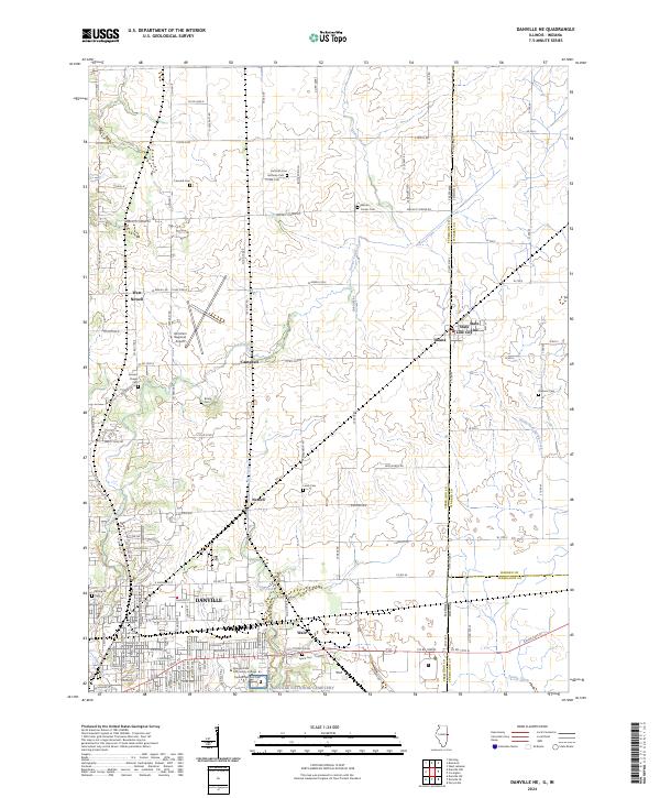
2024 Danville NE
Vermilion County, IL
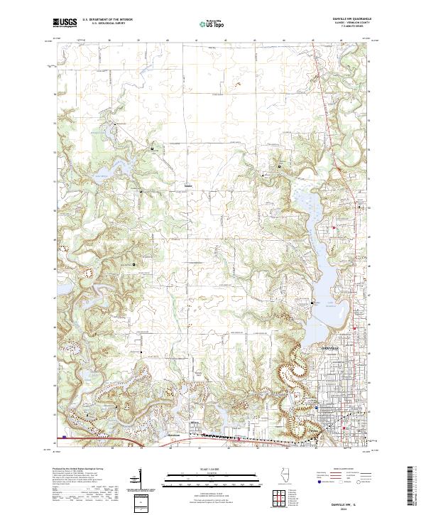
2024 Danville NW
Vermilion County, IL
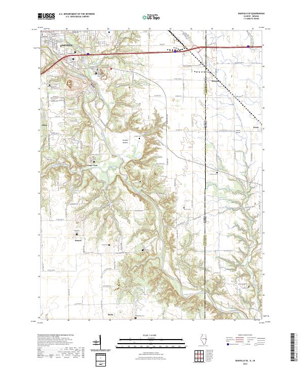
2024 Danville SE
Vermilion County, IL
2024 Danville SW
Vermilion County, IL
2024 Humrick
Vermilion County, IL