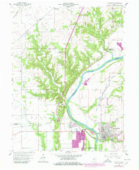
1958 Map of Covington
USGS Topo · Published 1980About this map
The Wabash River serves as the primary geographical anchor for this portion of western Indiana, dividing the landscape between Warren and Fountain counties. The river's winding course is mirrored by a network of drainage runs and hollows, including Coal Hollow, Salts Run, and Opossum Run. At the southeastern corner, the town of Covington stands as a significant hub, showing a dense street grid that transitions into the industrial footprints of the late 20th century, such as the Industrial Waste Water Ponds near Olin.
Find a feature on this map
42 named features on this map. Tap any name to fly to it.
Don’t see what you’re looking for? This feature index may not catch every label — zoom into the map to look around manually.
Map Details
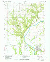
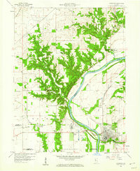
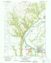
Editions of this 1958 Covington Map
4 editions found
Other maps of this area

1899 · Danville
USGS Topo · 1:62,500

1900 · Danville
USGS Topo · 1:62,500

1933 · Hoopeston
USGS Topo · 1:48,000

1938 · Hoopeston
USGS Topo · 1:62,500

1950 · Danville SE
USGS Topo · 1:24,000

1950 · Danville NE
USGS Topo · 1:24,000

1951 · Danville NE
USGS Topo · 1:24,000

1951 · Danville SE
USGS Topo · 1:24,000

1953 · Danville
USGS Topo · 1:250,000

1955 · Danville
USGS Topo · 1:250,000