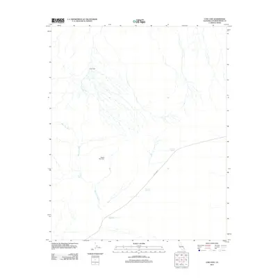
2012 Map of Cow Cove
USGS Topo · Published 2012About this map
Button Mountain anchors the topography of this high-desert landscape in San Bernardino County, defined by a network of ephemeral drainages and isolated infrastructure. The map records a series of essential water management features across the arid terrain, including Water Tank Number 1, Water Tank Number 2, and Water Tank Number 3, which support the remote area's sparse human activity. Transportation is limited to the prominent Aiken Mine Rd, which cuts diagonally across the southeastern corner of the quadrangle, likely serving as a vital access point for regional mining operations or cattle ranching. The drainage patterns of Black Tank Wash and the presence of Black Tank further illustrate the critical importance of water location in this environment. To the north, the topographic depression of Cow Cove provides a distinct geographical focus within the larger desert expanse.
Find a feature on this map
8 named features on this map. Tap any name to fly to it.
Don’t see what you’re looking for? This feature index may not catch every label — zoom into the map to look around manually.
Map Details
Editions of this 2012 Cow Cove Map
This is the sole edition of this map. No revisions or reprints were ever made.
Other maps of this area

1910 · Ivanpah
USGS Topo · 1:250,000

1912 · Ivanpah
USGS Topo · 1:250,000

1942 · Ivanpah
USGS Topo · 1:250,000

1947 · Kingman
USGS Topo · 1:250,000

1948 · Kingman
USGS Topo · 1:250,000

1954 · Kingman
USGS Topo · 1:250,000

1955 · Kingman
USGS Topo · 1:250,000

1955 · Mescal Range
USGS Topo · 1:62,500

1955 · Kelso
USGS Topo · 1:62,500

1956 · Halloran Spring
USGS Topo · 1:62,500