
1955 Map of Kelso
USGS Topo · Published 1957About this map
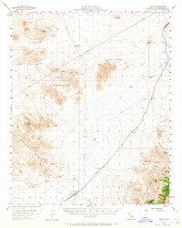
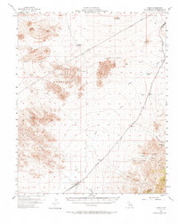
Union Pacific rail operations anchor this mid-century desert landscape, with the community of Kelso serving as a vital hub complete with a Water Tank and several Wells. The rail line traces a path through the valley floor, connecting several smaller stops and sidings including Hayden, Dawes, Elora, and Chase. Away from the tracks, the terrain is defined by the volcanic textures of the Lava fields and the prominent heights of Kelso Peak and the Marl Mountains.
Find a feature on this map
31 named features on this map. Tap any name to fly to it.
Don’t see what you’re looking for? This feature index may not catch every label — zoom into the map to look around manually.
Map Details
Editions of this 1955 Kelso Map
3 editions found
Other maps of this area

1910 · Ivanpah
USGS Topo · 1:250,000

1912 · Ivanpah
USGS Topo · 1:250,000

1942 · Ivanpah
USGS Topo · 1:250,000

1942 · Amboy
USGS Topo · 1:250,000

1943 · Amboy
USGS Topo · 1:250,000

1947 · Kingman
USGS Topo · 1:250,000

1948 · Kingman
USGS Topo · 1:250,000

1954 · Needles
USGS Topo · 1:250,000

1954 · Kingman
USGS Topo · 1:250,000

1955 · Kingman
USGS Topo · 1:250,000