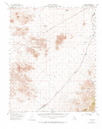
1955 Map of Kelso
USGS Topo · Published 1972About this map
Kelso and Cima serve as the primary anchors for this mid-1950s survey of the Mojave Desert, connected by the Union Pacific line. The desert landscape is defined by its vital water sources, including the historic Marl Spring and Rainbow Wells, which supported travel along the Government Road. The railroad infrastructure is well-documented, featuring small sidings and stops like Chase, Elora, and Dawes. In the higher elevations of the Providence Mts and Kelso Mts, the map records several prospects and named springs such as Macedonia Spring and Tough Nut Spring. The presence of Lava flows and the Marl Mountains illustrates the distinct geological character of the region, while drainage patterns are traced through Kelso Wash and Cedar Wash.
Find a feature on this map
29 named features on this map. Tap any name to fly to it.
Don’t see what you’re looking for? This feature index may not catch every label — zoom into the map to look around manually.
Map Details
Editions of this 1955 Kelso Map
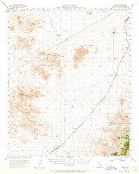
3 editions found

Other maps of this area

1910 · Ivanpah
USGS Topo · 1:250,000

1912 · Ivanpah
USGS Topo · 1:250,000

1942 · Ivanpah
USGS Topo · 1:250,000

1942 · Amboy
USGS Topo · 1:250,000

1943 · Amboy
USGS Topo · 1:250,000

1947 · Kingman
USGS Topo · 1:250,000

1948 · Kingman
USGS Topo · 1:250,000

1954 · Needles
USGS Topo · 1:250,000

1954 · Kingman
USGS Topo · 1:250,000

1955 · Kingman
USGS Topo · 1:250,000