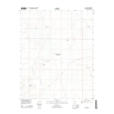
2015 Map of Cow Cove
USGS Topo · Published 2015About this map
Mojave National Preserve encompasses this arid landscape, dominated by significant geological formations that define the high desert. The southwestern portion of the map is marked by the Cinder Cone Lava Beds, where the volcanic history of the region is etched into the terrain. To the east, the gentle rise of Cima Dome stands as a prominent natural landmark, illustrating the unique granitic weathering of the area.
Find a feature on this map
13 named features on this map. Tap any name to fly to it.
Don’t see what you’re looking for? This feature index may not catch every label — zoom into the map to look around manually.
Map Details
Editions of this 2015 Cow Cove Map
This is the sole edition of this map. No revisions or reprints were ever made.
Other maps of this area

1910 · Ivanpah
USGS Topo · 1:250,000

1912 · Ivanpah
USGS Topo · 1:250,000

1942 · Ivanpah
USGS Topo · 1:250,000

1947 · Kingman
USGS Topo · 1:250,000

1948 · Kingman
USGS Topo · 1:250,000

1954 · Kingman
USGS Topo · 1:250,000

1955 · Kingman
USGS Topo · 1:250,000

1955 · Mescal Range
USGS Topo · 1:62,500

1955 · Kelso
USGS Topo · 1:62,500

1956 · Halloran Spring
USGS Topo · 1:62,500