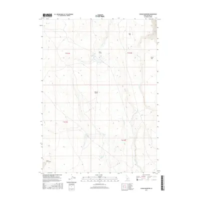
2017 Map of Cowan Reservoir
USGS Topo · Published 2017About this map
Diamond A Desert characterizes this high-elevation landscape in Owyhee County, where the management of scarce water resources defines the topography. Centered on Cowan Reservoir, the map reveals a network of natural and engineered water features essential to life in this arid region, including the Cowan Ditch and several reliable water sources such as Dead Horse Spring, Willow Spring, and Gardner Spring.
Find a feature on this map
16 named features on this map. Tap any name to fly to it.
Don’t see what you’re looking for? This feature index may not catch every label — zoom into the map to look around manually.
Map Details
Editions of this 2017 Cowan Reservoir Map
This is the sole edition of this map. No revisions or reprints were ever made.
Other maps of this area

1936 · Rowland
USGS Topo · 1:48,000

1940 · Rowland
USGS Topo · 1:62,500

1943 · Jarbidge
USGS Topo · 1:62,500

1945 · Jarbidge
USGS Topo · 1:62,500

1955 · Twin Falls
USGS Topo · 1:250,000

1955 · Wells
USGS Topo · 1:250,000

1958 · Wells
USGS Topo · 1:250,000

1958 · Twin Falls
USGS Topo · 1:250,000

1961 · Wells
USGS Topo · 1:250,000

1978 · The Arch
USGS Topo · 1:24,000