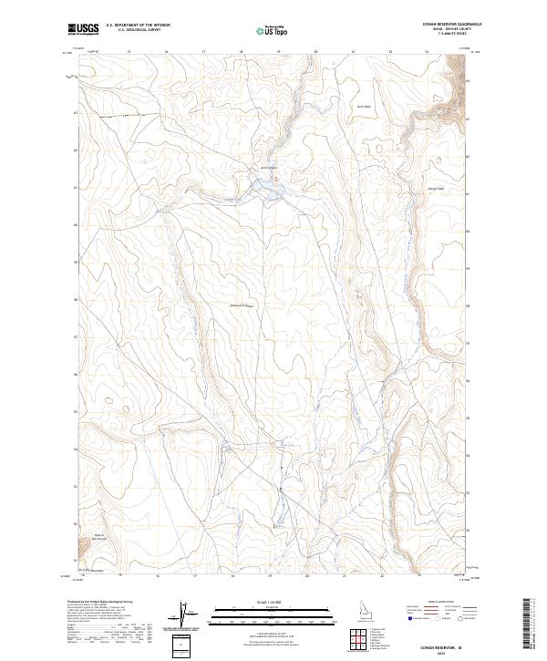
2023 Map of Cowan Reservoir
USGS Topo · Published 2023About this map
Diamond A Desert dominates this high-altitude landscape in Owyhee County, characterized by volcanic plateaus and deep drainage cuts. The northeastern corner is preserved within the Bruneau-Jarbidge Rivers Wilderness, where the terrain drops sharply into Arch Canyon and is flanked by the flat-topped Arch Table and Dorsey Table. These landforms suggest a history of intense geological erosion and seasonal water movement through arid plains.
Find a feature on this map
18 named features on this map. Tap any name to fly to it.
Don’t see what you’re looking for? This feature index may not catch every label — zoom into the map to look around manually.
Map Details
Editions of this 2023 Cowan Reservoir Map
This is the sole edition of this map. No revisions or reprints were ever made.
Other maps of this area

1936 · Rowland
USGS Topo · 1:48,000

1940 · Rowland
USGS Topo · 1:62,500

1943 · Jarbidge
USGS Topo · 1:62,500

1945 · Jarbidge
USGS Topo · 1:62,500

1955 · Twin Falls
USGS Topo · 1:250,000

1955 · Wells
USGS Topo · 1:250,000

1958 · Wells
USGS Topo · 1:250,000

1958 · Twin Falls
USGS Topo · 1:250,000

1961 · Wells
USGS Topo · 1:250,000

1978 · The Arch
USGS Topo · 1:24,000