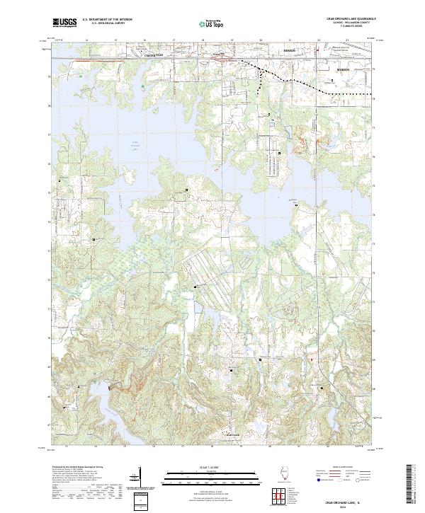
2024 Map of Crab Orchard Lake
USGS Topo · Published 2024About this map
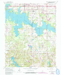
Crab Orchard Lake dominates the center of this southern Illinois landscape, its irregular shoreline reaching into the protected reaches of the Crab Orchard National Wildlife Refuge. The northern border is defined by the urban corridor connecting Carterville, Crainville, Herrin, and Marion, where development meets the educational campus of John A Logan College. Away from the modern infrastructure of Old State Rte 13, the map reveals a quiet network of rural burial grounds, including the Chamness Cem and Pigeon Creek Cem, which speak to the area's long-standing family ties. Numerous waterways like Grassy Creek, Wolf Creek, and Little Grassy Creek drain the undulating terrain south of the reservoir, leading toward the dense woodlands of the Crab Orchard Wilderness.
Find a feature on this map
114 named features on this map. Tap any name to fly to it.
Don’t see what you’re looking for? This feature index may not catch every label — zoom into the map to look around manually.
Map Details
Editions of this 2024 Crab Orchard Lake Map
This is the sole edition of this map. No revisions or reprints were ever made.
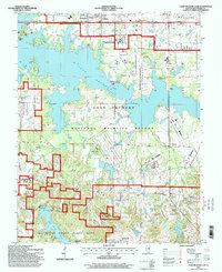
Historical Maps of Wolf Creek Through Time
3 maps found