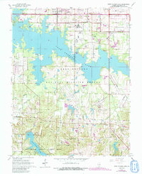
1966 Map of Crab Orchard Lake
USGS Topo · Published 1990About this map
The Crab Orchard National Wildlife Refuge dominates this landscape, preserved around the extensive waters of Crab Orchard Lake and its smaller neighbors, Devils Kitchen Lake and Little Grassy Creek. In the mid-1960s, this area of Williamson County balanced conservation with institutional growth and aviation, evidenced by the presence of the Southern Illinois University School of Technology and the Williamson County Airport.
Find a feature on this map
41 named features on this map. Tap any name to fly to it.
Don’t see what you’re looking for? This feature index may not catch every label — zoom into the map to look around manually.
Map Details
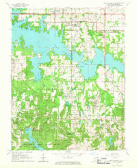
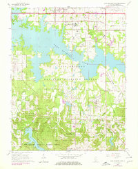
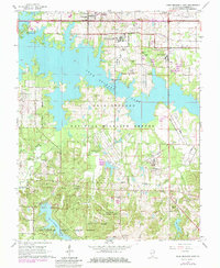
Editions of this 1966 Crab Orchard Lake Map
4 editions found
Other maps of this area

1909 · West Frankfort
USGS Topo · 1:62,500

1910 · Herrin
USGS Topo · 1:62,500

1922 · Carbondale
USGS Topo · 1:62,500

1925 · Marion
USGS Topo · 1:62,500

1936 · Herrin
USGS Topo · 1:62,500

1940 · Marion
USGS Topo · 1:62,500

1941 · Carbondale
USGS Topo · 1:62,500

1941 · West Frankfort
USGS Topo · 1:62,500

1949 · Paducah
USGS Topo · 1:250,000

1950 · Paducah
USGS Topo · 1:250,000