Loading...
Loading map...2022 Map of Crab Orchard
USGS Topo · Published 2022About this map
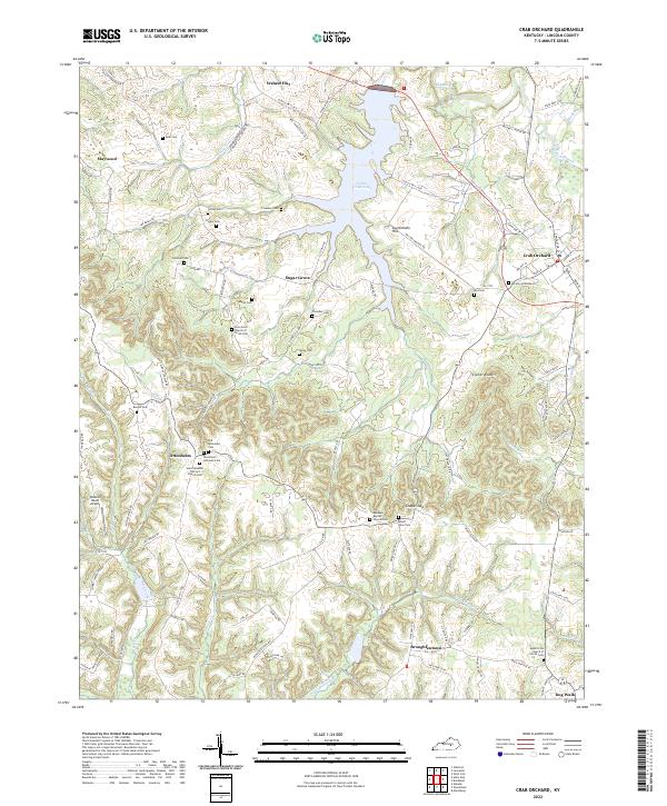
Crab Orchard serves as a primary hub in eastern Lincoln County, anchoring a landscape where the Dix River and Cedar Creek Lake shape the local geography. This modern survey illustrates the enduring settlement patterns of rural Kentucky, featuring the distinct community of Ottenheim to the southwest. This area is particularly notable for its concentration of German immigrant heritage, as evidenced by landmarks like the Ottenheim Lutheran Cem and Saint Sylvester Catholic Church Cem.
Find a feature on this map
103 named features on this map. Tap any name to fly to it.
Don’t see what you’re looking for? This feature index may not catch every label — zoom into the map to look around manually.
Map Details
Date Portrayed2022
Date Published2022
PublisherU.S. Geological Survey
Map TypeTopographic
Scale1:24000
Physical Dimensions24 x 29 inches
Editions of this 2022 Crab Orchard Map
This is the sole edition of this map. No revisions or reprints were ever made.
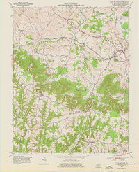
Historical Maps of Maywood Through Time
Featured Locations
Source Details
SourceU.S. Geological Survey
CopyrightPublic Domain