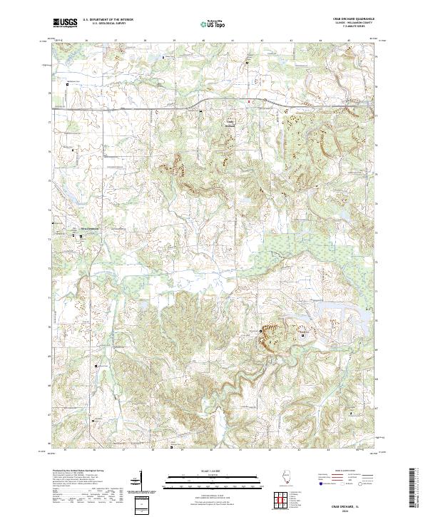
2024 Map of Crab Orchard
USGS Topo · Published 2024About this map
Crab Orchard and New Dennison anchor this modern landscape in Williamson County, where the topography is defined by the branching tributaries of the South Fork Saline River and Sugar Creek. The area retains a high density of small family and community burial grounds, essential for genealogical research, including Bethlehem Cem, Worley Cem, and Old Krieger Cem. These markers of early settlement are connected by a network of rural routes such as Crabtree School Rd and Old Creal Springs Rd, reflecting the historical paths between local hubs and regional water sources like Caplinger Pond. The southern portion of the quadrangle shows the drainage of Little Cana Creek and several unnamed ridges, illustrating the transition from the upland agricultural plots to the river bottoms. This 2024 survey captures the persistence of these small-scale landmarks in a region largely defined by its rural character and proximity to the Bankston Fork.
Find a feature on this map
78 named features on this map. Tap any name to fly to it.
Don’t see what you’re looking for? This feature index may not catch every label — zoom into the map to look around manually.
Map Details
Editions of this 2024 Crab Orchard Map
This is the sole edition of this map. No revisions or reprints were ever made.
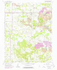
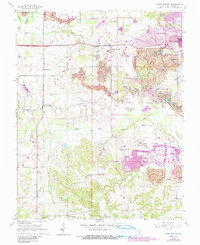
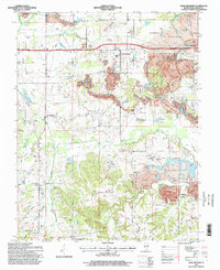
Historical Maps of Marion Through Time
4 maps found