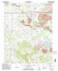
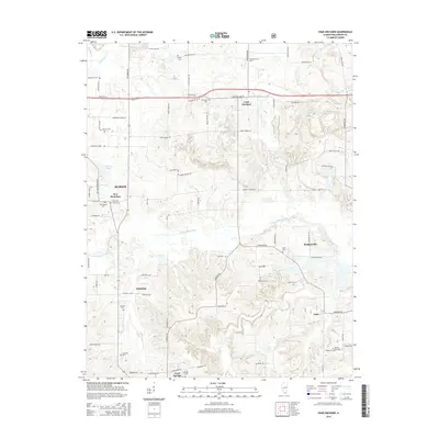
1996 Map of Crab Orchard
USGS Topo · Published 1998About this map
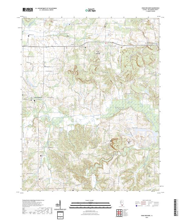
Crab Orchard serves as a focal point in this portion of Williamson County, where the landscape is defined by the extensive footprint of the coal industry. Large swaths of land are marked as Strip Mine or Reclaimed Strip Mine, showing the transformative effect of extraction and subsequent restoration efforts on the local terrain. Small family and community landmarks remain interspersed among these industrial zones, including Worley Cem and Edwards Cem, which provide essential touchstones for local genealogical research. To the south, the settlement of Creal Springs and the Palzo Tract sit near the winding waters of Cana Creek and Sugar Creek. The map documents a complex network of rural life through numerous country churches like Mt Pleasant Ch and Ferrell Ch, illustrating how social centers persisted even as the surrounding earth was significantly altered by mining operations near the South Fork Saline River.
Find a feature on this map
48 named features on this map. Tap any name to fly to it.
Don’t see what you’re looking for? This feature index may not catch every label — zoom into the map to look around manually.
Map Details
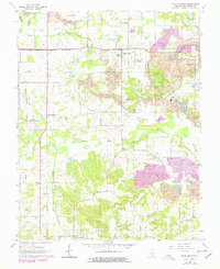
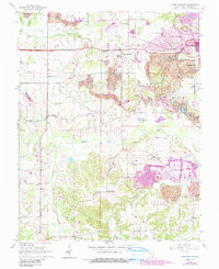
Editions of this 1996 Crab Orchard Map
This is the sole edition of this map. No revisions or reprints were ever made.
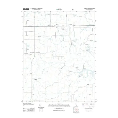
Historical Maps of Marion Through Time
8 maps found
1965 Crab Orchard
Williamson County, IL
1990 Crab Orchard
Williamson County, IL
1996 Crab Orchard
Williamson County, IL
2012 Crab Orchard
Williamson County, IL
2015 Crab Orchard
Williamson County, IL
2018 Crab Orchard
Williamson County, IL
2021 Crab Orchard
Williamson County, IL
2024 Crab Orchard
Williamson County, IL