Loading...
Loading map...2023 Map of Craigsville
USGS Topo · Published 2023About this map
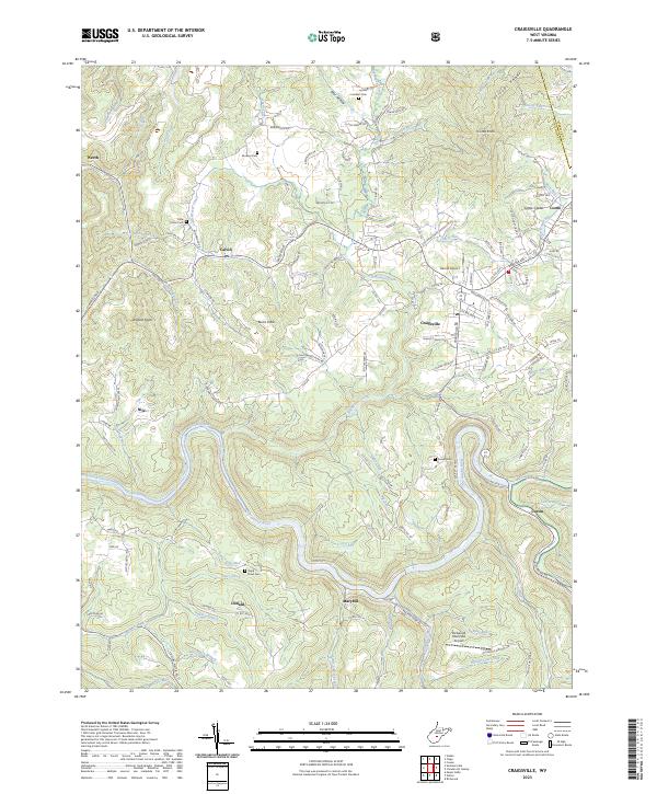
The Gauley River and Cherry River converge in this high-altitude pocket of the Allegheny Plateau, where the settlement of Craigsville serves as a primary hub. The landscape is defined by its deep drainage patterns, with steep valleys cut by Big Beaver Creek and Little Beaver Creek. Aviation history is well-represented by the presence of Herold Airport and the Richwood Municipal Airport, both positioned on the relatively level ground between mountain knobs.
Find a feature on this map
137 named features on this map. Tap any name to fly to it.
Don’t see what you’re looking for? This feature index may not catch every label — zoom into the map to look around manually.
Map Details
Date Portrayed2023
Date Published2023
PublisherU.S. Geological Survey
Map TypeTopographic
Scale1:24000
Physical Dimensions24 x 29 inches
Editions of this 2023 Craigsville Map
This is the sole edition of this map. No revisions or reprints were ever made.
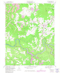
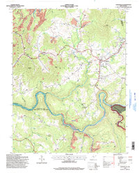
Historical Maps of Calvin Through Time
3 maps found
Featured Locations
Source Details
SourceU.S. Geological Survey
CopyrightPublic Domain