Loading...
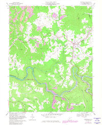
Loading map...1966 Map of Craigsville
USGS Topo · Published 1982About this map
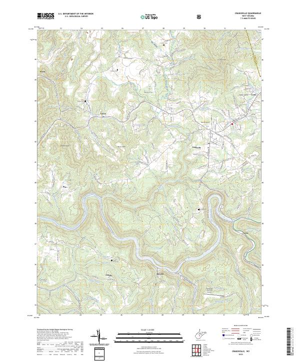
The Gauley River carves a deep, winding path through this industrial and rural landscape in Nicholas County, separating the Hamilton and Beaver districts. The local economy is defined by heavy industry and resource extraction, evidenced by numerous Strip Mines and the long Conveyor belts that traverse the hillsides. The Baltimore and Ohio railroad follows the river's bend, serving as the primary corridor for coal transport through sidings like the one at Curtin.
Find a feature on this map
88 named features on this map. Tap any name to fly to it.
Don’t see what you’re looking for? This feature index may not catch every label — zoom into the map to look around manually.
Map Details
Date Portrayed1966
Date Published1982
PublisherU.S. Geological Survey
Map TypeTopographic
Scale1:24,000
Physical Dimensions22 x 26.9 inches
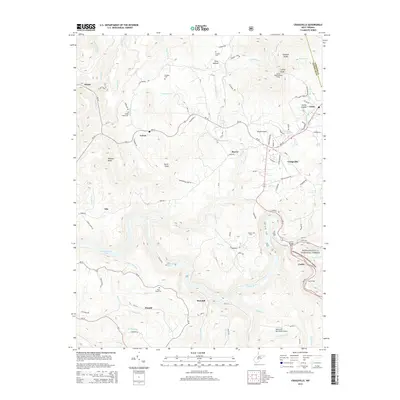
Editions of this 1966 Craigsville Map
2 editions found
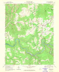
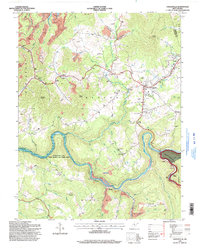
Historical Maps of Craigsville Through Time
7 maps found

Featured Locations
Source Details
SourceU.S. Geological Survey
CopyrightPublic Domain