
1919 Map of Cranberry Lake
USGS Topo · Published 1959About this map
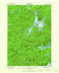
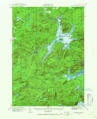
Cranberry Lake and the complex waterway of the Oswegatchie River anchor this late-1910s survey of the northern Adirondack wilderness. The map documents the industrial and educational footprint in the forest, showing the settlements at Newton Falls and Benson Mines, alongside the State Ranger School near Wanakena. The terrain is characterized by a dense network of mountain peaks and water bodies, from the heights of Wolf Mtn and Cat Mtn to the low reaches of the Chaumont Swamp. Farther south, the map captures more remote outposts like Robinwood and Nehasane along the rail line. Researchers can find specific landmarks of the era's wood and water economy, such as the Partlow Milldam and the Beaverdam, which illustrate how the landscape was managed and utilized before more modern conservation efforts.
Find a feature on this map
144 named features on this map. Tap any name to fly to it.
Don’t see what you’re looking for? This feature index may not catch every label — zoom into the map to look around manually.
Map Details
Editions of this 1919 Cranberry Lake Map
Other maps of this area

1903 · Big Moose
USGS Topo · 1:62,500

1903 · Raquette Lake
USGS Topo · 1:62,500

1907 · Tupper Lake
USGS Topo · 1:62,500

1912 · Number Four
USGS Topo · 1:62,500

1915 · Number Four
USGS Topo · 1:62,500

1915 · Russell
USGS Topo · 1:62,500

1916 · Oswegatchie
USGS Topo · 1:62,500

1918 · Russell
USGS Topo · 1:62,500

1918 · Oswegatchie
USGS Topo · 1:62,500

1920 · Childwold
USGS Topo · 1:62,500