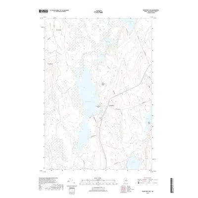
2018 Map of Crawford Lake
USGS Topo · Published 2018About this map
Crawford Lake dominates the center of this Washington County landscape, acting as a hydrological hub where the Maine River and numerous brooks converge. The settlement of Crawford sits on the eastern shore, positioned near the junction of several rural routes including Crawford Arm Rd and Mud Lake Rd. This area of eastern Maine is defined by a dense network of freshwater bodies and glacial ridges, including Cedar Grove Ridge and Seavey Ridge, which channel the flow of water south toward the East Machias River.
Find a feature on this map
44 named features on this map. Tap any name to fly to it.
Don’t see what you’re looking for? This feature index may not catch every label — zoom into the map to look around manually.
Map Details
Editions of this 2018 Crawford Lake Map
This is the sole edition of this map. No revisions or reprints were ever made.
Other maps of this area

1929 · Calais
USGS Topo · 1:48,000

1932 · Calais
USGS Topo · 1:62,500

1941 · Wesley
USGS Topo · 1:62,500

1941 · Gardner Lake
USGS Topo · 1:62,500

1941 · Big Lake
USGS Topo · 1:62,500

1943 · Big Lake
USGS Topo · 1:62,500

1943 · Wesley
USGS Topo · 1:62,500

1943 · Gardner Lake
USGS Topo · 1:62,500

1952 · Big Lake
USGS Topo · 1:50,000

1957 · Fredericton
USGS Topo · 1:250,000