
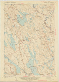
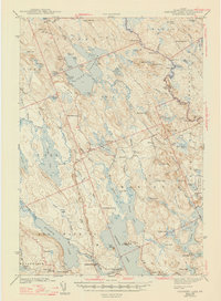
1943 Map of Gardner Lake
USGS Topo · Published 1943About this map
Cathance Lake dominates the central landscape of this 1941 survey, its irregular shoreline defined by Birch Point and Fox Point. This interior section of Washington County is characterized by a complex network of glacial lakes and wetlands, including the expansive MaceIroy Heath and Berry Heath. Small, dispersed settlements like Marion, Jacksonville, and Halls Mills are linked by rural roads, while industrial and academic outposts such as Chase Mills and the MIT Camp on the shores of Gardner Lake suggest a landscape utilized for both local milling and field research. The topography is dotted with family-named schools like East Ridge Sch and West Ridge Sch, reflecting a era of localized education. On Cooper Hill, a firetower stands watch over the surrounding timberlands, while hydraulic infrastructure like Gilman Dam on Gilman Bk underscores the historical importance of water management in this river-rich region.
Find a feature on this map
109 named features on this map. Tap any name to fly to it.
Don’t see what you’re looking for? This feature index may not catch every label — zoom into the map to look around manually.
Map Details
Editions of this 1943 Gardner Lake Map
3 editions found
Other maps of this area

1907 · Eastport
USGS Topo · 1:48,000

1908 · Eastport
USGS Topo · 1:62,500

1917 · Cutler
USGS Topo · 1:62,500

1918 · Machias
USGS Topo · 1:62,500

1918 · Cutler
USGS Topo · 1:62,500

1921 · Columbia Falls
USGS Topo · 1:62,500

1929 · Calais
USGS Topo · 1:48,000

1929 · Robbinston
USGS Topo · 1:48,000

1931 · Robbinston
USGS Topo · 1:62,500

1932 · Calais
USGS Topo · 1:62,500