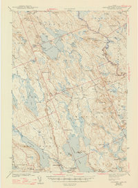
1943 Map of Gardner Lake
USGS Topo · Published 1947About this map
Marion and Jacksonville stand as central points in this Washington County landscape, which is defined by a complex network of waterways including the expansive Cathance Lake and the winding Dennys River. The presence of the Maine Central railroad corridor indicates the era's reliance on rail transport for moving timber and goods between local settlements and larger hubs. Numerous small schools such as Gardner Lake Sch and Smith Ridge Sch reflect a distributed rural population tied to the land and its resources.
Find a feature on this map
115 named features on this map. Tap any name to fly to it.
Don’t see what you’re looking for? This feature index may not catch every label — zoom into the map to look around manually.
Map Details
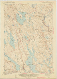
Editions of this 1943 Gardner Lake Map
3 editions found

Other maps of this area

1907 · Eastport
USGS Topo · 1:48,000

1908 · Eastport
USGS Topo · 1:62,500

1917 · Cutler
USGS Topo · 1:62,500

1918 · Machias
USGS Topo · 1:62,500

1918 · Cutler
USGS Topo · 1:62,500

1921 · Columbia Falls
USGS Topo · 1:62,500

1929 · Calais
USGS Topo · 1:48,000

1929 · Robbinston
USGS Topo · 1:48,000

1931 · Robbinston
USGS Topo · 1:62,500

1932 · Calais
USGS Topo · 1:62,500