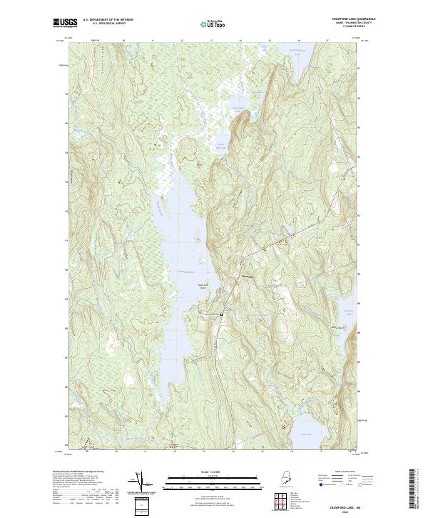
2024 Map of Crawford Lake
USGS Topo · Published 2024About this map
Crawford serves as the small hub of this Washington County landscape, situated where the Airline Rd intersects with local routes like Crawford Arm Rd. The geography is defined by a dense network of freshwater bodies, most notably the expansive Crawford Lake and its prominent Great Pine Point. The area's hydrology is complex, featuring a chain of connected waters including Upper Mud Lake, Lower Mud Lake, and the Maine River, all feeding into the southern reaches of the East Machias River. For genealogists and local historians, the Old Crawford Cem provides a tangible link to the families who settled this timber and lake region. The terrain is marked by distinctive elevations such as Seavey Ridge and Huntley Ridge, which overlook the boggy lowlands of Joe Brook and Allen Stream.
Find a feature on this map
48 named features on this map. Tap any name to fly to it.
Don’t see what you’re looking for? This feature index may not catch every label — zoom into the map to look around manually.
Map Details
Editions of this 2024 Crawford Lake Map
This is the sole edition of this map. No revisions or reprints were ever made.
Other maps of this area

1929 · Calais
USGS Topo · 1:48,000

1932 · Calais
USGS Topo · 1:62,500

1941 · Wesley
USGS Topo · 1:62,500

1941 · Gardner Lake
USGS Topo · 1:62,500

1941 · Big Lake
USGS Topo · 1:62,500

1943 · Big Lake
USGS Topo · 1:62,500

1943 · Wesley
USGS Topo · 1:62,500

1943 · Gardner Lake
USGS Topo · 1:62,500

1952 · Big Lake
USGS Topo · 1:50,000

1957 · Fredericton
USGS Topo · 1:250,000