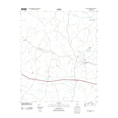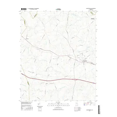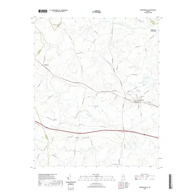
2024 Map of Crawfordville
USGS Topo · Published 2024About this map
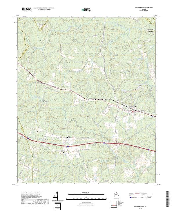
Crawfordville serves as the focal point of this Taliaferro County landscape, where the confluence of regional history and drainage patterns defines the terrain. The town is flanked by significant local landmarks including the Alexander Stephens Park Lake and several historic burial grounds such as Friendship Cem and Crawfordville Cem. To the northwest, the settlement of Robinson sits near Robinson Church, marking a secondary node of community life linked by Greensboro Rd NW.
Find a feature on this map
76 named features on this map. Tap any name to fly to it.
Don’t see what you’re looking for? This feature index may not catch every label — zoom into the map to look around manually.
Map Details
Editions of this 2024 Crawfordville Map
This is the sole edition of this map. No revisions or reprints were ever made.
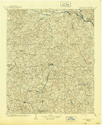
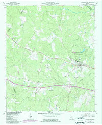
Historical Maps of Crawfordville Through Time
7 maps found