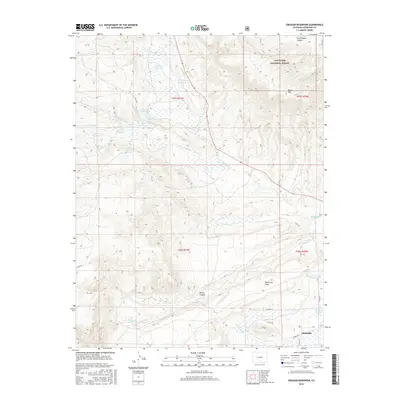
2016 Map of Creager Reservoir
USGS Topo · Published 2016About this map
Malachite anchors the southeastern corner of this Huerfano County landscape, situated where the high plains meet the eastern slopes of the southern Rockies. Water management is the defining characteristic of this terrain, evidenced by a dense network of high-altitude impoundments and irrigation infrastructure. Major features like Creager Reservoir, Murray Reservoir, and McKinley Reservoir collect runoff from the surrounding peaks, while the Montez Ditch and associated Montez Reservoir Number 4 facilitate agricultural distribution.
Find a feature on this map
34 named features on this map. Tap any name to fly to it.
Don’t see what you’re looking for? This feature index may not catch every label — zoom into the map to look around manually.
Map Details
Editions of this 2016 Creager Reservoir Map
This is the sole edition of this map. No revisions or reprints were ever made.
Other maps of this area
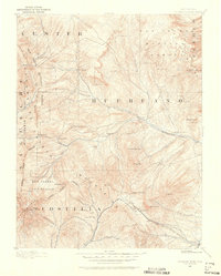
1889 · Huerfano Park
USGS Topo · 1:125,000
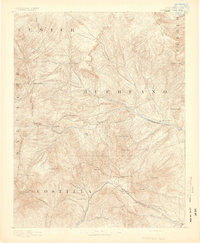
1892 · Huerfano Park
USGS Topo · 1:125,000

1954 · Trinidad
USGS Topo · 1:250,000

1955 · Trinidad
USGS Topo · 1:250,000

1958 · Trinidad
USGS Topo · 1:250,000
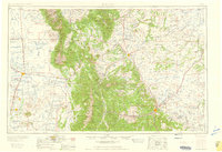
1959 · Trinidad
USGS Topo · 1:250,000
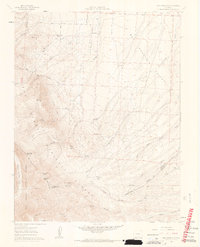
1960 · Beck Mountain
USGS Topo · 1:24,000
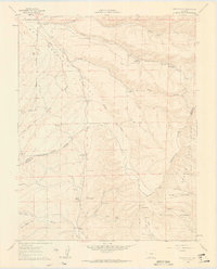
1960 · Devils Gulch
USGS Topo · 1:24,000
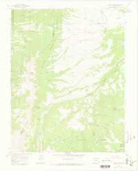
1967 · Mosca Pass
USGS Topo · 1:24,000
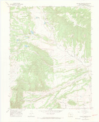
1967 · Creager Reservoir
USGS Topo · 1:24,000