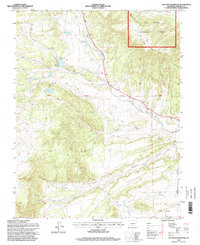
1994 Map of Creager Reservoir
USGS Topo · Published 1998About this map
San Isabel National Forest dominates this Huerfano County landscape, where complex water management is evident through a network of upland catchments including Creager Reservoir, McKinley Reservoir, and Murray Reservoir. The terrain transitions from the high elevations of Black Mountain down toward the wide expanse of Racetrack Flats. In the southeast, the small settlement of Malachite serves as a lone community hub near the banks of Pantleon Creek.
Find a feature on this map
19 named features on this map. Tap any name to fly to it.
Don’t see what you’re looking for? This feature index may not catch every label — zoom into the map to look around manually.
Map Details
Editions of this 1994 Creager Reservoir Map
This is the sole edition of this map. No revisions or reprints were ever made.
Other maps of this area

1889 · Huerfano Park
USGS Topo · 1:125,000

1892 · Huerfano Park
USGS Topo · 1:125,000

1954 · Trinidad
USGS Topo · 1:250,000

1955 · Trinidad
USGS Topo · 1:250,000

1958 · Trinidad
USGS Topo · 1:250,000

1959 · Trinidad
USGS Topo · 1:250,000
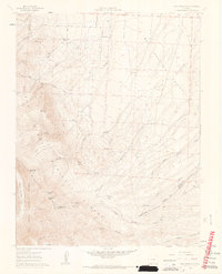
1960 · Beck Mountain
USGS Topo · 1:24,000
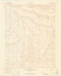
1960 · Devils Gulch
USGS Topo · 1:24,000

1967 · Mosca Pass
USGS Topo · 1:24,000
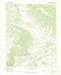
1967 · Creager Reservoir
USGS Topo · 1:24,000