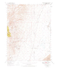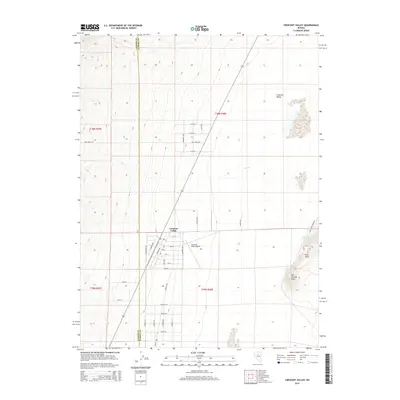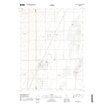
1987 Map of Crescent Valley
USGS Topo · Published 1988About this map
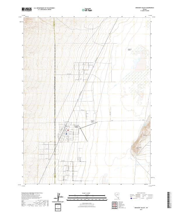
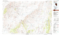
Crescent Valley and the surrounding high desert of central Nevada are captured here during the late twentieth century, showing a landscape defined by industrial mining and vast drainage basins. The map documents the corridors of the Southern Pacific and Western Pacific railroads as they track the northern reaches near Beowawe. These transportation lines contrast with the more isolated settlements like Tenabo and Cortez, which are situated near the prominent Shoshone Range and Cortez Mountains. Numerous labels for mines throughout these peaks reflect the region's enduring reliance on mineral extraction.
Find a feature on this map
34 named features on this map. Tap any name to fly to it.
Don’t see what you’re looking for? This feature index may not catch every label — zoom into the map to look around manually.
Map Details
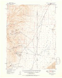
Editions of this 1987 Crescent Valley Map
2 editions found
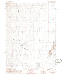
Historical Maps of Crescent Valley Through Time
8 maps found