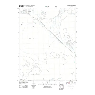
2011 Map of Crested Butte
USGS Topo · Published 2011About this map
The town of Crested Butte sits at the northern edge of this high-altitude landscape, where Coal Creek joins the Slate River valley. The 2011 survey details a complex irrigation and mining history, shown through a dense network of water management features like the Halazon Ditch, Verzuh Ditch, and Dillsworth Ditch. These human-engineered channels contrast with the natural drainage of Farris Creek and the East River.
Find a feature on this map
43 named features on this map. Tap any name to fly to it.
Don’t see what you’re looking for? This feature index may not catch every label — zoom into the map to look around manually.
Map Details
Editions of this 2011 Crested Butte Map
This is the sole edition of this map. No revisions or reprints were ever made.
Other maps of this area

1888 · Crested Butte
USGS Topo · 1:62,500

1888 · Anthracite
USGS Topo · 1:62,500

1889 · Crested Butte
USGS Topo · 1:62,500

1889 · Anthracite
USGS Topo · 1:62,500

1893 · Anthracite
USGS Topo · 1:62,500

1893 · Crested Butte
USGS Topo · 1:62,500

1894 · Anthracite
USGS Topo · 1:62,500

1956 · Montrose
USGS Topo · 1:250,000

1959 · Montrose
USGS Topo · 1:250,000

1960 · Montrose
USGS Topo · 1:250,000