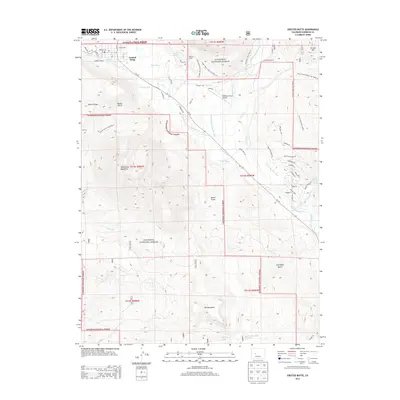
2013 Map of Crested Butte
USGS Topo · Published 2013About this map
Crested Butte sits at the northern edge of this high-elevation terrain, where the Slate River and East River valleys converge. The landscape is defined by its water management history, evidenced by an intricate network of irrigation channels like the Halazon Ditch, Verzuh Ditch, and Dillsworth Ditch that lace the valley floors. These systems suggest a legacy of ranching and early agricultural efforts in a challenging mountain environment, supporting sites such as Cold Spring Ranch.
Find a feature on this map
69 named features on this map. Tap any name to fly to it.
Don’t see what you’re looking for? This feature index may not catch every label — zoom into the map to look around manually.
Map Details
Editions of this 2013 Crested Butte Map
This is the sole edition of this map. No revisions or reprints were ever made.
Other maps of this area

1888 · Crested Butte
USGS Topo · 1:62,500

1888 · Anthracite
USGS Topo · 1:62,500

1889 · Crested Butte
USGS Topo · 1:62,500

1889 · Anthracite
USGS Topo · 1:62,500

1893 · Anthracite
USGS Topo · 1:62,500

1893 · Crested Butte
USGS Topo · 1:62,500

1894 · Anthracite
USGS Topo · 1:62,500

1956 · Montrose
USGS Topo · 1:250,000

1959 · Montrose
USGS Topo · 1:250,000

1960 · Montrose
USGS Topo · 1:250,000