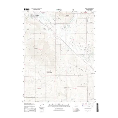
2016 Map of Crested Butte
USGS Topo · Published 2016About this map
Crested Butte serves as the focal point for this survey of the Elk Mountains, where the town grid meets an intricate network of modern trails and ranching infrastructure. The Slate River and East River wind through the valley floor, fed by an extensive system of historic water rights including the Verzuh Ditch, Rainbow Ditch, and Imobersteg Ditch. These waterways reflect the agricultural heritage of the high country, even as the landscape transitions toward recreation and aviation at the Buckhorn Ranch Airport. Within the protected bounds of the Gunnison National Forest, the terrain rises sharply to Whetstone Mtn and Gibson Ridge, while thermal features like Ranger Hot Spring and Cement Creek Spring punctuate the landscape. This era captures the town's expansion with residential developments along Riverside Dr and Skyland Dr bordering the older mining-era core.
Find a feature on this map
85 named features on this map. Tap any name to fly to it.
Don’t see what you’re looking for? This feature index may not catch every label — zoom into the map to look around manually.
Map Details
Editions of this 2016 Crested Butte Map
This is the sole edition of this map. No revisions or reprints were ever made.
Other maps of this area

1888 · Crested Butte
USGS Topo · 1:62,500

1888 · Anthracite
USGS Topo · 1:62,500

1889 · Crested Butte
USGS Topo · 1:62,500

1889 · Anthracite
USGS Topo · 1:62,500

1893 · Anthracite
USGS Topo · 1:62,500

1893 · Crested Butte
USGS Topo · 1:62,500

1894 · Anthracite
USGS Topo · 1:62,500

1956 · Montrose
USGS Topo · 1:250,000

1959 · Montrose
USGS Topo · 1:250,000

1960 · Montrose
USGS Topo · 1:250,000