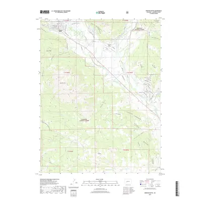
2019 Map of Crested Butte
USGS Topo · Published 2019About this map
Crested Butte sits at the northern edge of this high-altitude landscape, where the town grid meets the southern reaches of the Gunnison National Forest. The local geography is defined by the broad valley of the Slate River and its complex network of irrigation systems like the Verzuh Ditch and E River Number 2 Ditch, which support the ranching operations near the Buckhorn Ranch Airport. Steep peaks and ridges dominate the skyline, including the prominent mass of Whetstone Mtn and Gibson Ridge. Geothermal activity is indicated by the presence of Ranger Hot Spring and Cement Creek Spring along the eastern valley floor. This 2019 data illustrates the modern footprint of outdoor recreation and alpine settlement, from the residential streets of Crested Butte to the high basins containing Red Mountain Lake and Big Alkali Lake.
Find a feature on this map
81 named features on this map. Tap any name to fly to it.
Don’t see what you’re looking for? This feature index may not catch every label — zoom into the map to look around manually.
Map Details
Editions of this 2019 Crested Butte Map
This is the sole edition of this map. No revisions or reprints were ever made.
Other maps of this area

1888 · Crested Butte
USGS Topo · 1:62,500

1888 · Anthracite
USGS Topo · 1:62,500

1889 · Crested Butte
USGS Topo · 1:62,500

1889 · Anthracite
USGS Topo · 1:62,500

1893 · Anthracite
USGS Topo · 1:62,500

1893 · Crested Butte
USGS Topo · 1:62,500

1894 · Anthracite
USGS Topo · 1:62,500

1956 · Montrose
USGS Topo · 1:250,000

1959 · Montrose
USGS Topo · 1:250,000

1960 · Montrose
USGS Topo · 1:250,000