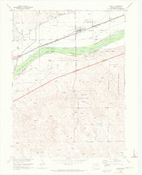
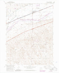
1953 Map of Crook
USGS Topo · Published 1972About this map
The town of Crook serves as a focal point in Logan County, positioned along the Union Pacific railroad and U.S. Route 138. This landscape is defined by the high-plains agriculture of the Missouri River Basin, where a sophisticated irrigation network including Harmony Ditch No 1, Harmony Ditch No 2, and Chambers Ditch draws water to support the surrounding fields. The South Platte River cuts across the quadrangle, flanked by the extensive Colorado Game and Fish Reserve, which follows the river's riparian corridor.
Find a feature on this map
22 named features on this map. Tap any name to fly to it.
Don’t see what you’re looking for? This feature index may not catch every label — zoom into the map to look around manually.
Map Details
Editions of this 1953 Crook Map
6 editions found
Other maps of this area

1953 · Tamarack Ranch
USGS Topo · 1:24,000

1953 · Crook
USGS Topo · 1:24,000

1953 · Twin Buttes
USGS Topo · 1:24,000

1953 · Proctor
USGS Topo · 1:24,000

1953 · Haystack Butte
USGS Topo · 1:24,000

1953 · Julesburg Reservoir
USGS Topo · 1:24,000

1954 · Sterling
USGS Topo · 1:250,000

1958 · Sterling
USGS Topo · 1:250,000

1962 · Fleming
USGS Topo · 1:24,000

1962 · Uhler Ranch
USGS Topo · 1:24,000