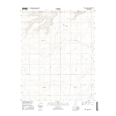
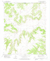
2017 Map of Cross L Ranch SW
USGS Topo · Published 2017About this map
Weatherly sits in the southern portion of this Union County landscape, marked by a network of drainage systems and rugged terrain. The geography is defined by a series of significant canyons in the north, including Cow Canyon, Halls Canyon, and Gleason Canyon, which feed into the area's waterway system. Several creeks traverse the quadrangle, most notably Travesser Cr and Spring Cr, while Corrumpa Cr cuts across the southeastern corner. A sparse network of roads, such as Ridge Rd and the Wilkerson route, connects the high ground between the canyons and valleys. The map illustrates a remote ranching landscape structured by the Public Land Survey System, showing the intersections of townships like T30N R30E and T31N R31E.
Find a feature on this map
20 named features on this map. Tap any name to fly to it.
Don’t see what you’re looking for? This feature index may not catch every label — zoom into the map to look around manually.
Map Details
Editions of this 2017 Cross L Ranch SW Map
This is the sole edition of this map. No revisions or reprints were ever made.
Other maps of this area

1954 · Dalhart
USGS Topo · 1:250,000

1958 · Dalhart
USGS Topo · 1:250,000

1962 · Dalhart
USGS Topo · 1:250,000

1972 · Emery Peak
USGS Topo · 1:24,000

1972 · Little Grande
USGS Topo · 1:24,000
1972 · Fiddler Springs
USGS Topo · 1:24,000
1972 · Cross L Ranch
USGS Topo · 1:24,000

1972 · Cross L Ranch SW
USGS Topo · 1:24,000
1972 · Des Moines
USGS Topo · 1:24,000
1972 · Cobert Mesa South
USGS Topo · 1:24,000