
1972 Map of Emery Peak
USGS Topo · Published 1975About this map
Emery Gap sits at the northern edge of this high-altitude landscape, marking a critical passage for the Colorado and Southern railroad as it crosses the border between New Mexico and Colorado. The terrain is defined by dramatic mesas and deep drainages, including the broad heights of Negro Mesa and River Mesa. This 1970s survey captures the region's ranching and transit infrastructure, where a network of trails and roads navigate the steep topography of Toll Gate Canyon and Gleasons Canyon.
Find a feature on this map
19 named features on this map. Tap any name to fly to it.
Don’t see what you’re looking for? This feature index may not catch every label — zoom into the map to look around manually.
Map Details
Editions of this 1972 Emery Peak Map
This is the sole edition of this map. No revisions or reprints were ever made.
Other maps of this area

1891 · Mesa De Maya
USGS Topo · 1:125,000

1893 · Mesa de Maya
USGS Topo · 1:125,000

1954 · Dalhart
USGS Topo · 1:250,000

1955 · La Junta
USGS Topo · 1:250,000

1958 · La Junta
USGS Topo · 1:250,000

1958 · Dalhart
USGS Topo · 1:250,000

1962 · Dalhart
USGS Topo · 1:250,000

1968 · La Junta
USGS Topo · 1:250,000
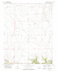
1972 · Branson SE
USGS Topo · 1:24,000
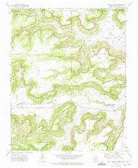
1972 · Cross L Ranch
USGS Topo · 1:24,000