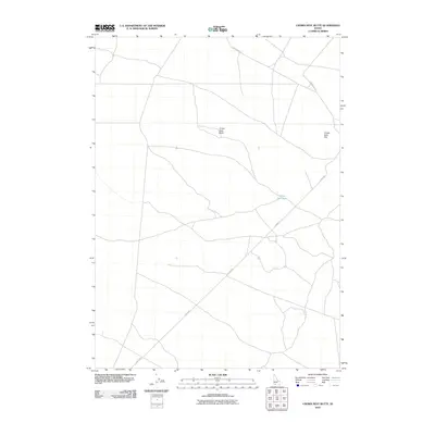
2010 Map of Crows Nest Butte
USGS Topo · Published 2010About this map
Crows Nest Butte dominates the central landscape of this Owyhee County map, serving as a primary landmark in a region defined by high-desert plateaus and seasonal water features. The 2010 survey illustrates a sparsely settled area where the road network, including Clover Rd and Castleford Rd, follows the broad topography of the high plains. To the northeast, Crows Nest Flat represents the open terrain characteristic of this portion of Idaho, while Crows Nest Lake sits as a notable hydrological feature in an otherwise arid environment. The map provides a clear look at the intersection of local routes like Crows Nest Rd, showing how modern infrastructure navigates the natural elevations of the Owyhee territory.
Find a feature on this map
6 named features on this map. Tap any name to fly to it.
Don’t see what you’re looking for? This feature index may not catch every label — zoom into the map to look around manually.
Map Details
Editions of this 2010 Crows Nest Butte Map
This is the sole edition of this map. No revisions or reprints were ever made.
Other maps of this area

1955 · Twin Falls
USGS Topo · 1:250,000

1956 · Blue Butte
USGS Topo · 1:62,500

1958 · Twin Falls
USGS Topo · 1:250,000

1959 · Crows Nest
USGS Topo · 1:62,500
1980 · Crows Nest
USGS Topo · 1:24,000
1980 · Notch Butte
USGS Topo · 1:24,000

1980 · Clover Butte North
USGS Topo · 1:24,000
1980 · Black Butte East
USGS Topo · 1:24,000
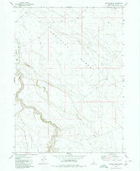
1980 · Juniper Ranch
USGS Topo · 1:24,000
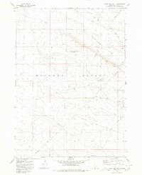
1980 · Crows Nest Butte
USGS Topo · 1:24,000