
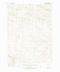
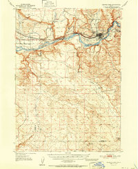
1956 Map of Blue Butte
USGS Topo · Published 1958About this map
Blue Butte and Winter Camp Butte dominate this mid-century high desert landscape, characterized by prominent volcanic formations and intermittent water sources. The mapping of the Aerial Gunnery Range and the Air Force Reservation Boundary indicates the mid-1950s significance of this area for military operations, specifically within the Saylor Creek basin. The terrain is marked by deep topographic features such as the East Fork Bruneau Canyon and the wide depression of Big Draw.
Find a feature on this map
19 named features on this map. Tap any name to fly to it.
Don’t see what you’re looking for? This feature index may not catch every label — zoom into the map to look around manually.
Map Details
Editions of this 1956 Blue Butte Map
2 editions found
Other maps of this area

1948 · Indian Cove
USGS Topo · 1:62,500

1948 · Twentymile Butte
USGS Topo · 1:24,000

1948 · Glenns Ferry
USGS Topo · 1:62,500

1948 · Pence Butte
USGS Topo · 1:24,000

1948 · Grindstone Butte
USGS Topo · 1:24,000
1949 · Pot Hole Canyon
USGS Topo · 1:24,000
1949 · Grindstone Butte
USGS Topo · 1:24,000
1949 · Pence Butte
USGS Topo · 1:24,000

1949 · Pasadena Valley
USGS Topo · 1:62,500
1951 · Glenns Ferry
USGS Topo · 1:62,500