
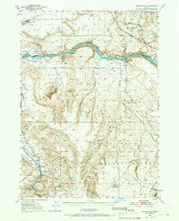
1948 Map of Indian Cove
USGS Topo · Published 1952About this map
The Snake River carves a deep path through this high desert landscape, serving as a corridor for both nature and industry in the late 1940s. The northern reaches are dominated by the logistics of the Oregon Short Line, where the Chalk Spur and an Aband Canal reveal the intersection of rail transport and early water management efforts. Settlements are sparse but strategically placed, including the tiny outpost of Blacks and the riverside Barber Cabin.
Find a feature on this map
49 named features on this map. Tap any name to fly to it.
Don’t see what you’re looking for? This feature index may not catch every label — zoom into the map to look around manually.
Map Details
Editions of this 1948 Indian Cove Map
2 editions found
Other maps of this area

1892 · Mountain Home
USGS Topo · 1:125,000

1892 · Camas Prairie
USGS Topo · 1:125,000

1893 · Mountain Home
USGS Topo · 1:125,000

1893 · Camas Prairie
USGS Topo · 1:125,000

1947 · Bruneau
USGS Topo · 1:62,500

1947 · Indian Cove
USGS Topo · 1:24,000

1947 · Hammett
USGS Topo · 1:24,000

1947 · Sand Dunes
USGS Topo · 1:24,000

1947 · Bruneau
USGS Topo · 1:24,000

1947 · Sugar Valley
USGS Topo · 1:24,000