
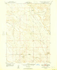
1948 Map of Twentymile Butte
USGS Topo · Published 1964About this map
High desert plateaus and deeply eroded drainages define this 1940s landscape along the border of Elmore and Owyhee Counties. The terrain is dominated by prominent landforms such as Flint Mesa and Twentymile Butte, showing the intricate network of seasonal watercourses like Rosevear Gulch and Big Pilgrim Gulch that carve through the high country.
Find a feature on this map
11 named features on this map. Tap any name to fly to it.
Don’t see what you’re looking for? This feature index may not catch every label — zoom into the map to look around manually.
Map Details
Editions of this 1948 Twentymile Butte Map
This is the sole edition of this map. No revisions or reprints were ever made.
Other maps of this area

1947 · Glenns Ferry
USGS Topo · 1:24,000

1947 · Pasadena Valley
USGS Topo · 1:24,000

1948 · Pasadena Valley
USGS Topo · 1:24,000

1948 · Glenns Ferry
USGS Topo · 1:24,000

1948 · Glenns Ferry
USGS Topo · 1:62,500

1948 · Ticeska
USGS Topo · 1:24,000

1948 · Grindstone Butte
USGS Topo · 1:24,000
1949 · Grindstone Butte
USGS Topo · 1:24,000

1949 · Ticeska
USGS Topo · 1:24,000

1949 · Pasadena Valley
USGS Topo · 1:62,500