
1948 Map of Grindstone Butte
USGS Topo · Published 1973About this map
Deadman Flat dominates the high arid terrain of this southern Idaho landscape, where the primary geographical features are defined by seasonal water sources and prominent volcanic rises. The drainage of Sailor Creek carves a path through the center of the sheet, eventually crossing the boundary between Elmore and Owyhee counties in the southern reaches. This 1948 topographic study, compiled from 1946 aerial photography, captures the sparse infrastructure of the era, focusing on critical water points such as Dove Spring and the aptly named Wilson Well (Dry Well). The most significant landmark is Grindstone Butte, which provides a fixed navigational point in an otherwise undulating plateau. The map illustrates a landscape shaped by grazing and water access, where the scarcity of permanent settlements is reflected in the isolation of these named features.
Find a feature on this map
6 named features on this map. Tap any name to fly to it.
Don’t see what you’re looking for? This feature index may not catch every label — zoom into the map to look around manually.
Map Details
Editions of this 1948 Grindstone Butte Map
This is the sole edition of this map. No revisions or reprints were ever made.
Other maps of this area

1947 · Hammett
USGS Topo · 1:24,000

1947 · Glenns Ferry
USGS Topo · 1:24,000

1947 · Pasadena Valley
USGS Topo · 1:24,000

1948 · Pasadena Valley
USGS Topo · 1:24,000

1948 · Hammett
USGS Topo · 1:24,000

1948 · Glenns Ferry
USGS Topo · 1:24,000

1948 · Twentymile Butte
USGS Topo · 1:24,000

1948 · Glenns Ferry
USGS Topo · 1:62,500
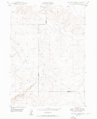
1949 · Pot Hole Canyon
USGS Topo · 1:24,000
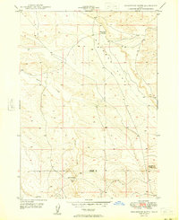
1949 · Grindstone Butte
USGS Topo · 1:24,000