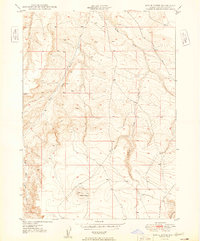
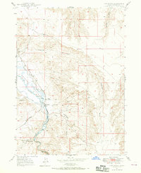
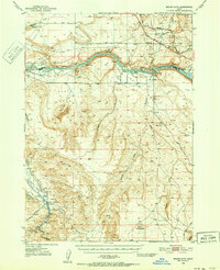
1949 Map of Pence Butte
USGS Topo · Published 1949About this map
Pence Butte stands as the central topographic feature of this high-desert Owyhee County terrain, as surveyed in the late 1940s. The landscape is defined by the drainage systems of Browns Creek and its tributary, the West Fork Browns Creek, which carve deep canyons through the arid plateau. Cultural development is sparse on this 1949 sheet, represented primarily by the unimproved path of Pot Hole Road skirting the eastern edge of the quadrangle. This Department of the Army and USGS collaboration provides a window into a largely undeveloped corner of Idaho just after World War II, when land management and topographic accuracy were being refined through aerial photography and plane-table methods.
Find a feature on this map
4 named features on this map. Tap any name to fly to it.
Don’t see what you’re looking for? This feature index may not catch every label — zoom into the map to look around manually.
Map Details
Editions of this 1949 Pence Butte Map
This is the sole edition of this map. No revisions or reprints were ever made.
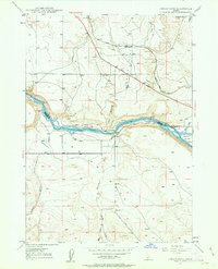
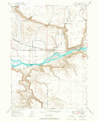
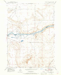
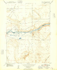
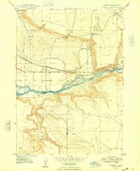
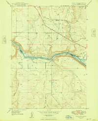
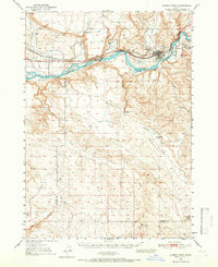
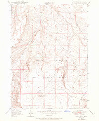
Other maps of this area
1947 · Indian Cove
USGS Topo · 1:24,000
1947 · Hammett
USGS Topo · 1:24,000
1947 · Sand Dunes
USGS Topo · 1:24,000
1947 · Hot Spring
USGS Topo · 1:24,000
1948 · Sand Dunes
USGS Topo · 1:24,000
1948 · Hammett
USGS Topo · 1:24,000
1948 · Indian Cove
USGS Topo · 1:24,000
1948 · Indian Cove
USGS Topo · 1:62,500
1948 · Glenns Ferry
USGS Topo · 1:62,500
1948 · Pence Butte
USGS Topo · 1:24,000